Fernandina Beach to St. Augustine and Jacksonville Waterproof Chart, 2nd Edition
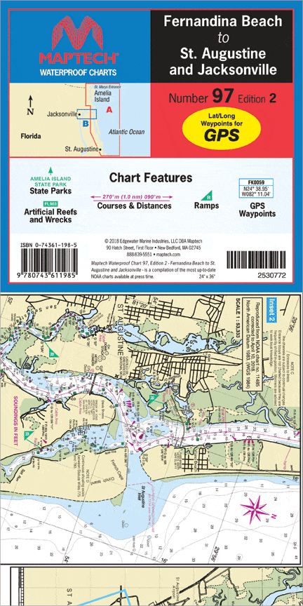
Inshore coverage of Florida’s First Coast & the Saint John’s River to Jacksonville. Contains pre-plotted GPS waypoints and courses, marine facilities, artificial reefs and wrecks, and gamefish. Approximate scales 1: 106,666 and 1: 26,666 with insets.
Inshore coverage of Florida’s First Coast & the Saint John’s River to Jacksonville. Contains pre-plotted GPS waypoints and courses, marine facilities, artificial reefs and wrecks, and gamefish. Approximate scales 1: 106,666 and 1: 26,666 with insets.
Original : $27.95
-70%$27.95
$8.38Description
Inshore coverage of Florida’s First Coast & the Saint John’s River to Jacksonville. Contains pre-plotted GPS waypoints and courses, marine facilities, artificial reefs and wrecks, and gamefish. Approximate scales 1: 106,666 and 1: 26,666 with insets.


