Pamlico and Neuse Rivers Waterproof Chart, 4th Edition
Includes Washington, New Bern, and Belhaven & the ICW by Goose Creek Island. Contains pre-plotted GPS waypoints and courses, marine facilities, boat ramps, artificial reefs, and illustrations of local gamefish. Approximate scales 1: 106,666 and 1: 53,333.
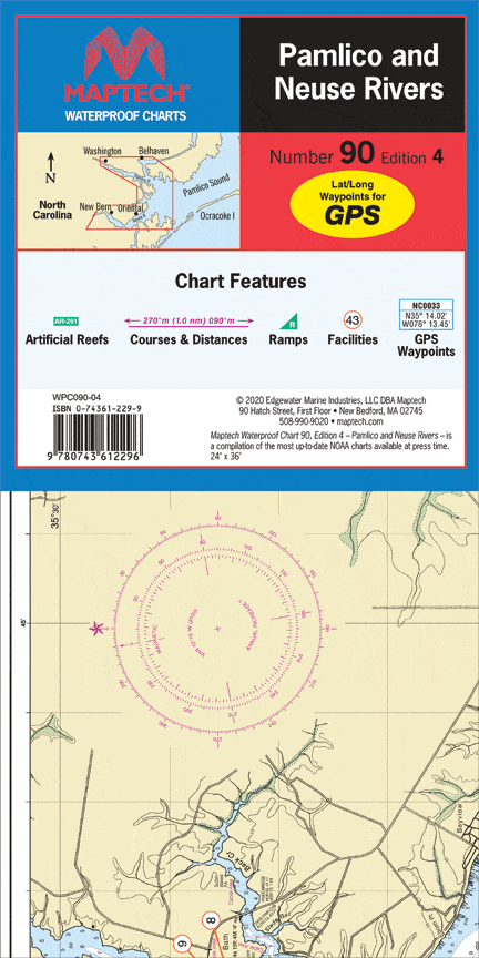
Includes Washington, New Bern, and Belhaven & the ICW by Goose Creek Island. Contains pre-plotted GPS waypoints and courses, marine facilities, boat ramps, artificial reefs, and illustrations of local gamefish. Approximate scales 1: 106,666 and 1: 53,333.
Original : $27.95
-70%$27.95
$8.38Description
Includes Washington, New Bern, and Belhaven & the ICW by Goose Creek Island. Contains pre-plotted GPS waypoints and courses, marine facilities, boat ramps, artificial reefs, and illustrations of local gamefish. Approximate scales 1: 106,666 and 1: 53,333.


