1 / 2
New Orleans and Lake Pontchartrain Waterproof Chart, 2nd Edition
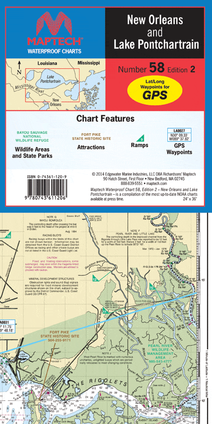
Includes the Gulf ICW course from the Rigolets to the Miss. River. Featuring waypoints for major aids to navigation, pre-plotted courses and distances, and public boat launch locations. 24" x 36", scale 1:106,666 with insets.
Includes the Gulf ICW course from the Rigolets to the Miss. River. Featuring waypoints for major aids to navigation, pre-plotted courses and distances, and public boat launch locations. 24" x 36", scale 1:106,666 with insets.
$8.38
Original : $27.95
-70%New Orleans and Lake Pontchartrain Waterproof Chart, 2nd Edition—
$27.95
$8.38Description
Includes the Gulf ICW course from the Rigolets to the Miss. River. Featuring waypoints for major aids to navigation, pre-plotted courses and distances, and public boat launch locations. 24" x 36", scale 1:106,666 with insets.


