1 / 2
Sandy Hook, NJ to Atlantic City, NJ Waterproof Chart, 5th Edition
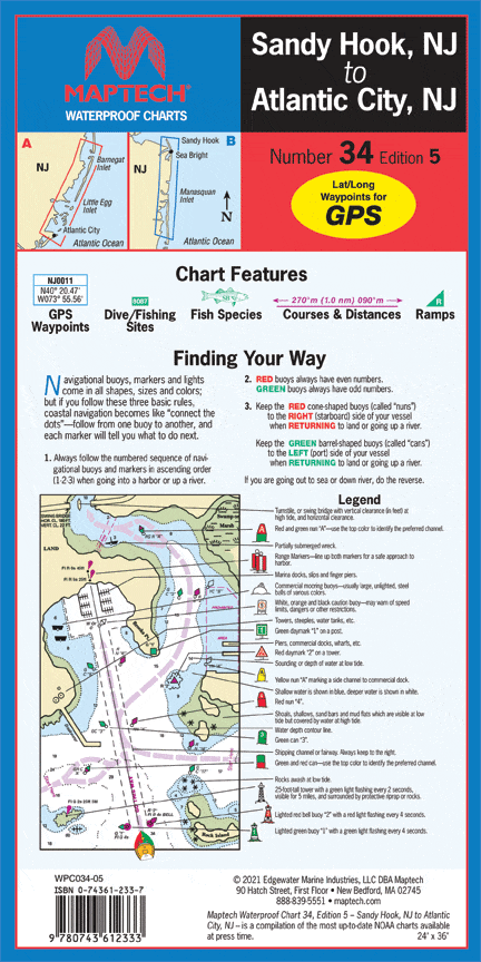
Navesink and Shrewsbury rivers, Barnegat Bay, and Beach Haven, Little Egg, Brigantine, and Absecon inlets. Featuring GPS Waypoints, courses and distances, and fishing and wreck sites. 14" x 60", scale 1:50,000.
Navesink and Shrewsbury rivers, Barnegat Bay, and Beach Haven, Little Egg, Brigantine, and Absecon inlets. Featuring GPS Waypoints, courses and distances, and fishing and wreck sites. 14" x 60", scale 1:50,000.
$8.38
Original : $27.95
-70%Sandy Hook, NJ to Atlantic City, NJ Waterproof Chart, 5th Edition—
$27.95
$8.38Description
Navesink and Shrewsbury rivers, Barnegat Bay, and Beach Haven, Little Egg, Brigantine, and Absecon inlets. Featuring GPS Waypoints, courses and distances, and fishing and wreck sites. 14" x 60", scale 1:50,000.


