1 / 2
York and James Rivers Waterproof Chart, 1st Edition
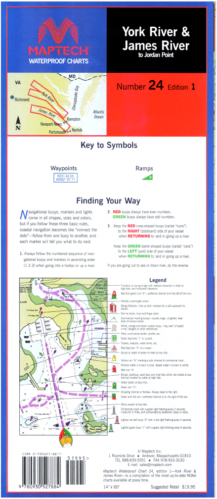
York River--Includes Matapony River to Aylett, and Pamunkey River to Newcastle bridges. James River--to Jordan Point. Ramp locations and information. 14" x 60", scale 1:53,333 with insets(1:21,505).
York River--Includes Matapony River to Aylett, and Pamunkey River to Newcastle bridges. James River--to Jordan Point. Ramp locations and information. 14" x 60", scale 1:53,333 with insets(1:21,505).
$8.38
Original : $27.95
-70%York and James Rivers Waterproof Chart, 1st Edition—
$27.95
$8.38Description
York River--Includes Matapony River to Aylett, and Pamunkey River to Newcastle bridges. James River--to Jordan Point. Ramp locations and information. 14" x 60", scale 1:53,333 with insets(1:21,505).


