1 / 2
Massachusetts Bay and Boston Harbor Waterproof Chart, 8th Editon
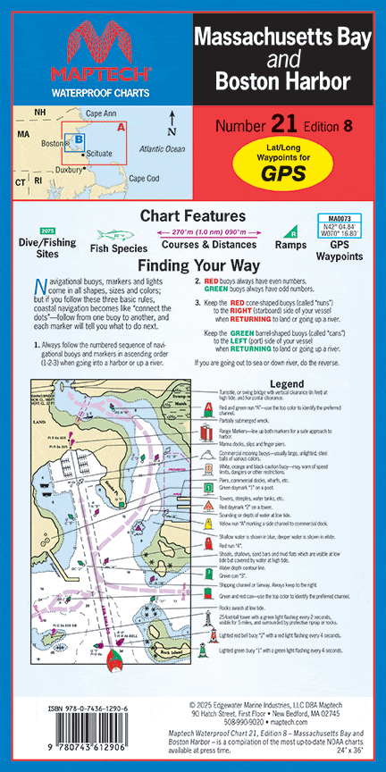
Cape Ann to Green Harbor, including Boston Harbor detail. Featuring waypoints for GPS, courses and distances, 36 wreck sites, and ramp locations and information. 24" x 36", scale 1:114,000 with insets, including Boston Harbor at 1:33,000.
Cape Ann to Green Harbor, including Boston Harbor detail. Featuring waypoints for GPS, courses and distances, 36 wreck sites, and ramp locations and information. 24" x 36", scale 1:114,000 with insets, including Boston Harbor at 1:33,000.
$8.38
Original : $27.95
-70%Massachusetts Bay and Boston Harbor Waterproof Chart, 8th Editon—
$27.95
$8.38Description
Cape Ann to Green Harbor, including Boston Harbor detail. Featuring waypoints for GPS, courses and distances, 36 wreck sites, and ramp locations and information. 24" x 36", scale 1:114,000 with insets, including Boston Harbor at 1:33,000.


