San Diego to Dana Point Waterproof Chart, 2nd Edition
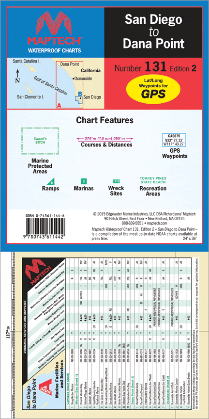
Dana Point to the border and a detailed chart of San Diego. Includes Dana Point, Oceanside, and Mission Bay, pre-plotted GPS waypoints and courses, marinas, and wrecks and obstructions. 24” x 36” Approximate scales 1:16,000 and 1:133,333 with insets.
Dana Point to the border and a detailed chart of San Diego. Includes Dana Point, Oceanside, and Mission Bay, pre-plotted GPS waypoints and courses, marinas, and wrecks and obstructions. 24” x 36” Approximate scales 1:16,000 and 1:133,333 with insets.
Original : $27.95
-70%$27.95
$8.38Description
Dana Point to the border and a detailed chart of San Diego. Includes Dana Point, Oceanside, and Mission Bay, pre-plotted GPS waypoints and courses, marinas, and wrecks and obstructions. 24” x 36” Approximate scales 1:16,000 and 1:133,333 with insets.


