San Francisco to Benicia Waterproof Chart, 3rd Edition
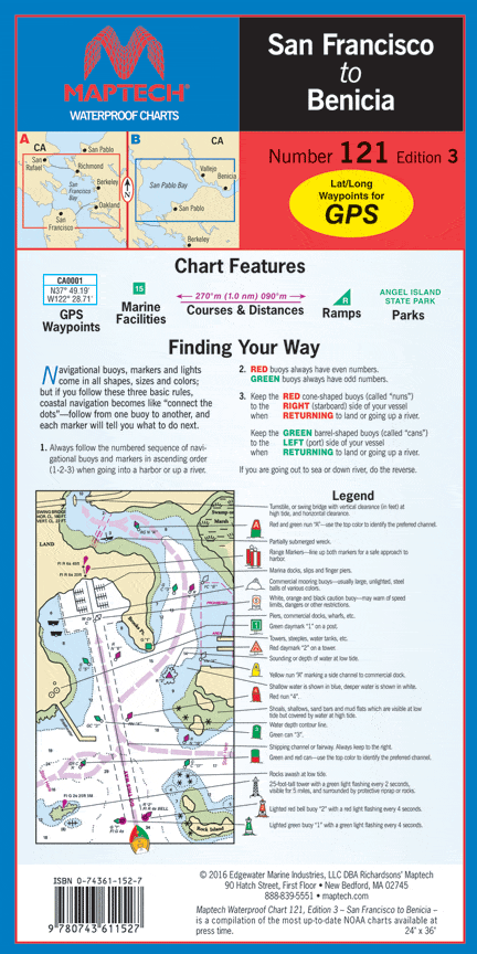
The middle and northern Bay to San Pablo. Includes the San Francisco waterfront, Alameda, Berkley, Richmond, Sausalito and Vallejo. GPS waypoints, 48 marine facilities w/ service information, and state/federal parks. 24" x 36", scale 1:40,000 with insets.
The middle and northern Bay to San Pablo. Includes the San Francisco waterfront, Alameda, Berkley, Richmond, Sausalito and Vallejo. GPS waypoints, 48 marine facilities w/ service information, and state/federal parks. 24" x 36", scale 1:40,000 with insets.
Original : $27.95
-70%$27.95
$8.38Description
The middle and northern Bay to San Pablo. Includes the San Francisco waterfront, Alameda, Berkley, Richmond, Sausalito and Vallejo. GPS waypoints, 48 marine facilities w/ service information, and state/federal parks. 24" x 36", scale 1:40,000 with insets.


