1 / 2
Peconic Bays to Montauk Waterproof Chart, 4th Edition
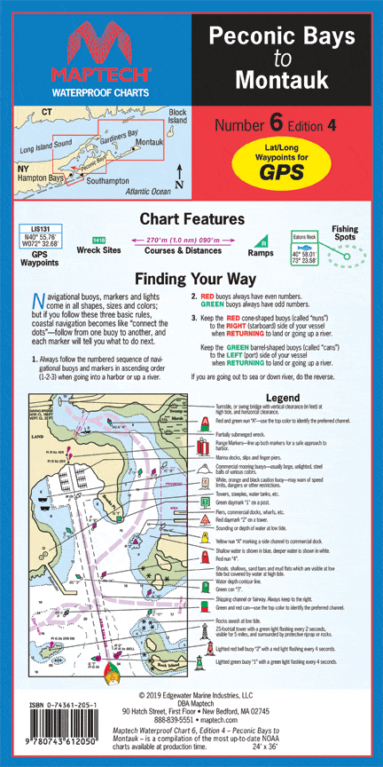
Peconic Bays, Shelter Island, Gardiners Bay, Plum Gut, Napeague Bay, and Montauk area. Featuring GPS Waypoints, courses and distances, ramp locations, and fishing and wreck sites. 24" x 36", scales 1:57,142 and 1:53,333 with insets.
Peconic Bays, Shelter Island, Gardiners Bay, Plum Gut, Napeague Bay, and Montauk area. Featuring GPS Waypoints, courses and distances, ramp locations, and fishing and wreck sites. 24" x 36", scales 1:57,142 and 1:53,333 with insets.
$27.95
Peconic Bays to Montauk Waterproof Chart, 4th Edition—
$27.95
Description
Peconic Bays, Shelter Island, Gardiners Bay, Plum Gut, Napeague Bay, and Montauk area. Featuring GPS Waypoints, courses and distances, ramp locations, and fishing and wreck sites. 24" x 36", scales 1:57,142 and 1:53,333 with insets.


