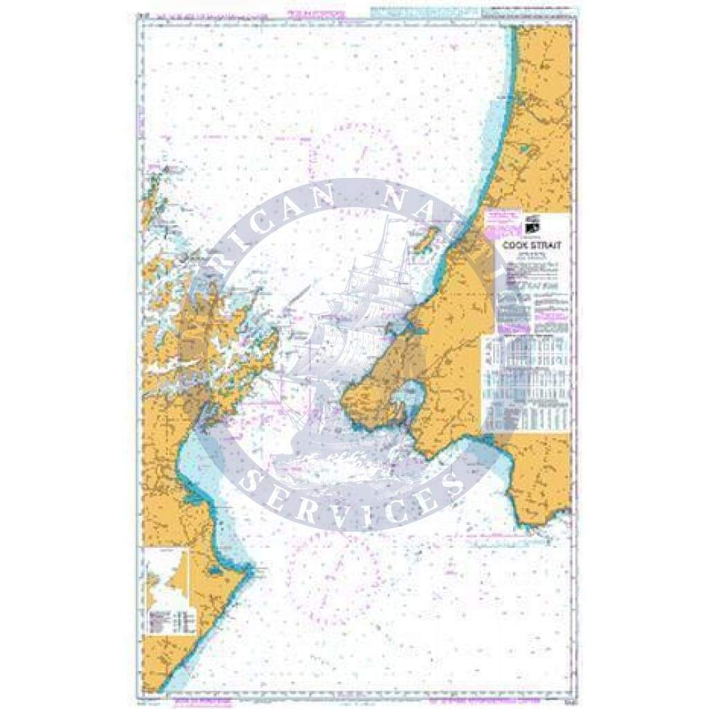
Transas TX-97 Chart Folio GB1000EL: Great Britain, Including Ireland
The Transas TX-97 Chart Folio SE0300SL delivers targeted electronic chart coverage of the Swedish East Coast, spanning from Gävle in the north to Strömstad in the south, and including the approaches to Oslo across the border. This Small (SL) folio is engineered for operations within this geospatially complex and highly trafficked marine corridor.
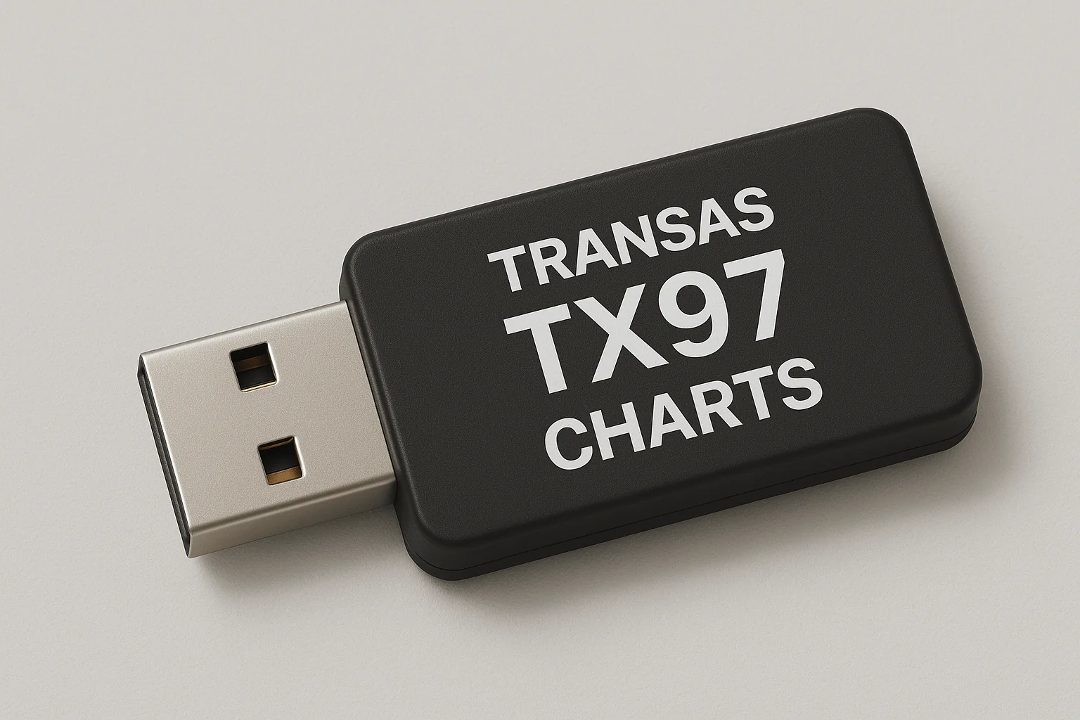
Built using the reliable TX-97 vector chart format, SE0300SL ensures seamless rendering, accurate depth contours, and consistent navigational symbology essential for both route planning and dynamic monitoring. The coverage includes Sweden's archipelagic waterways, key ports, shipping corridors, and coastal features vital for safe navigation.
Fully compatible with Transas ECS (Electronic Chart System) and ECDIS (Electronic Chart Display and Information System), this folio integrates cleanly into onboard navigation systems — whether used by commercial operators, ferries, offshore service vessels, or private yachts navigating this corridor.
Key Features:
-
Focused coverage of the Baltic Sea regional corridor stretching from Gävle to Strömstad, including Oslo approaches
-
Built on the precise and scalable TX-97 vector chart format
-
Seamless integration with Transas ECS and ECDIS systems
-
Includes navigationally significant waters, coastal features, ports, approaches, and depth-sensitive zones
-
Ideal for professional and recreational navigation across Sweden's eastern maritime corridor and adjacent Norway
The Transas TX-97 Chart Folio SE0300SL delivers targeted electronic chart coverage of the Swedish East Coast, spanning from Gävle in the north to Strömstad in the south, and including the approaches to Oslo across the border. This Small (SL) folio is engineered for operations within this geospatially complex and highly trafficked marine corridor.
Built using the reliable TX-97 vector chart format, SE0300SL ensures seamless rendering, accurate depth contours, and consistent navigational symbology essential for both route planning and dynamic monitoring. The coverage includes Sweden's archipelagic waterways, key ports, shipping corridors, and coastal features vital for safe navigation.
Fully compatible with Transas ECS (Electronic Chart System) and ECDIS (Electronic Chart Display and Information System), this folio integrates cleanly into onboard navigation systems — whether used by commercial operators, ferries, offshore service vessels, or private yachts navigating this corridor.
Key Features:
-
Focused coverage of the Baltic Sea regional corridor stretching from Gävle to Strömstad, including Oslo approaches
-
Built on the precise and scalable TX-97 vector chart format
-
Seamless integration with Transas ECS and ECDIS systems
-
Includes navigationally significant waters, coastal features, ports, approaches, and depth-sensitive zones
-
Ideal for professional and recreational navigation across Sweden's eastern maritime corridor and adjacent Norway
Original : $3,780.00
-70%$3,780.00
$1,134.00Description
The Transas TX-97 Chart Folio SE0300SL delivers targeted electronic chart coverage of the Swedish East Coast, spanning from Gävle in the north to Strömstad in the south, and including the approaches to Oslo across the border. This Small (SL) folio is engineered for operations within this geospatially complex and highly trafficked marine corridor.
Built using the reliable TX-97 vector chart format, SE0300SL ensures seamless rendering, accurate depth contours, and consistent navigational symbology essential for both route planning and dynamic monitoring. The coverage includes Sweden's archipelagic waterways, key ports, shipping corridors, and coastal features vital for safe navigation.
Fully compatible with Transas ECS (Electronic Chart System) and ECDIS (Electronic Chart Display and Information System), this folio integrates cleanly into onboard navigation systems — whether used by commercial operators, ferries, offshore service vessels, or private yachts navigating this corridor.
Key Features:
-
Focused coverage of the Baltic Sea regional corridor stretching from Gävle to Strömstad, including Oslo approaches
-
Built on the precise and scalable TX-97 vector chart format
-
Seamless integration with Transas ECS and ECDIS systems
-
Includes navigationally significant waters, coastal features, ports, approaches, and depth-sensitive zones
-
Ideal for professional and recreational navigation across Sweden's eastern maritime corridor and adjacent Norway