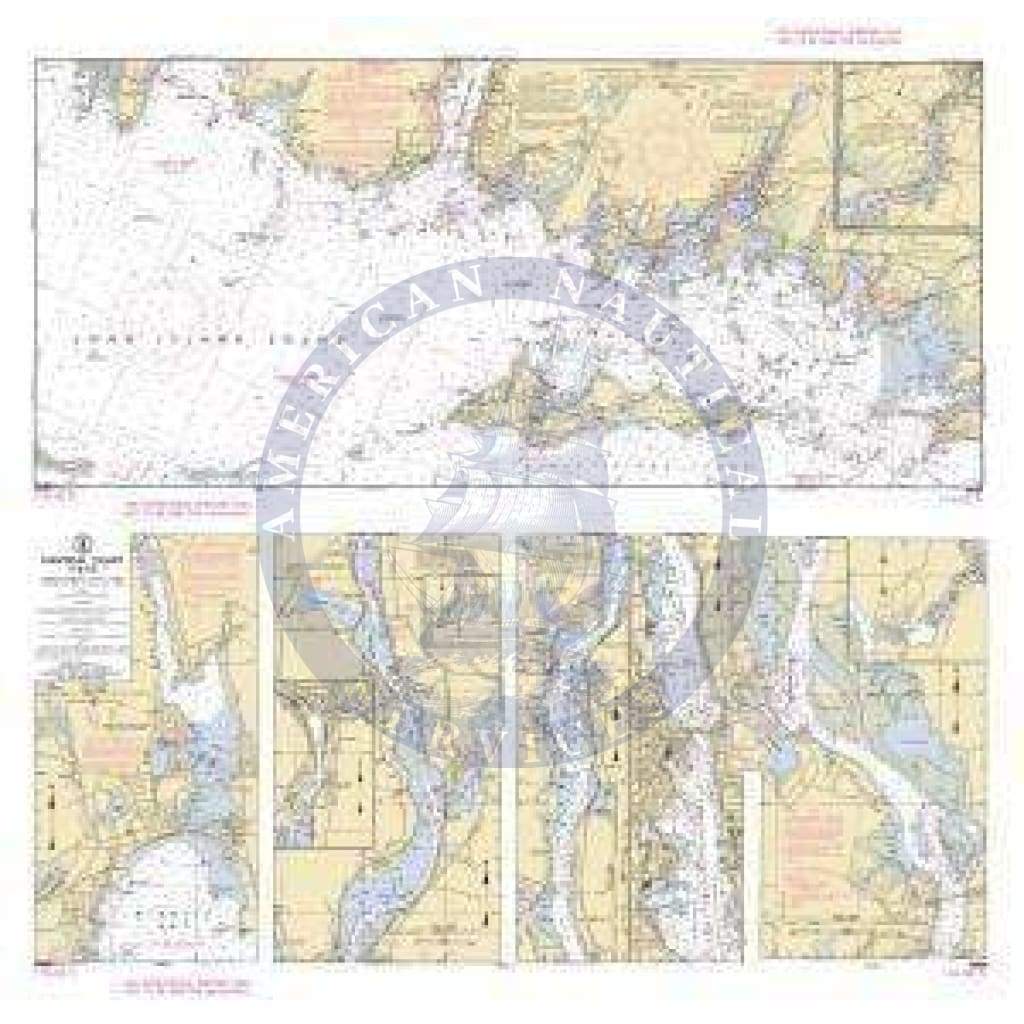
Training Chart 116: Long Island Sound
NOAA Training Chart 116: Long Island Sound
Paper Size: 36.0" x 33.0"
Training charts are special standardized versions of select NOAA charts, are used for instructional purposes by numerous sailing and boating organizations. Also available is the newest edition of U.S. Chart No.1, Nautical Chart Symbols, Abbreviations and Terms. This is an essential aid and a useful reference for all mariners as it lists and defines all of the symbols used on nautical charts produced by NOAA and NGA.
Original : $1,800.00
-70%$1,800.00
$540.00Description
NOAA Training Chart 116: Long Island Sound
Paper Size: 36.0" x 33.0"
Training charts are special standardized versions of select NOAA charts, are used for instructional purposes by numerous sailing and boating organizations. Also available is the newest edition of U.S. Chart No.1, Nautical Chart Symbols, Abbreviations and Terms. This is an essential aid and a useful reference for all mariners as it lists and defines all of the symbols used on nautical charts produced by NOAA and NGA.


