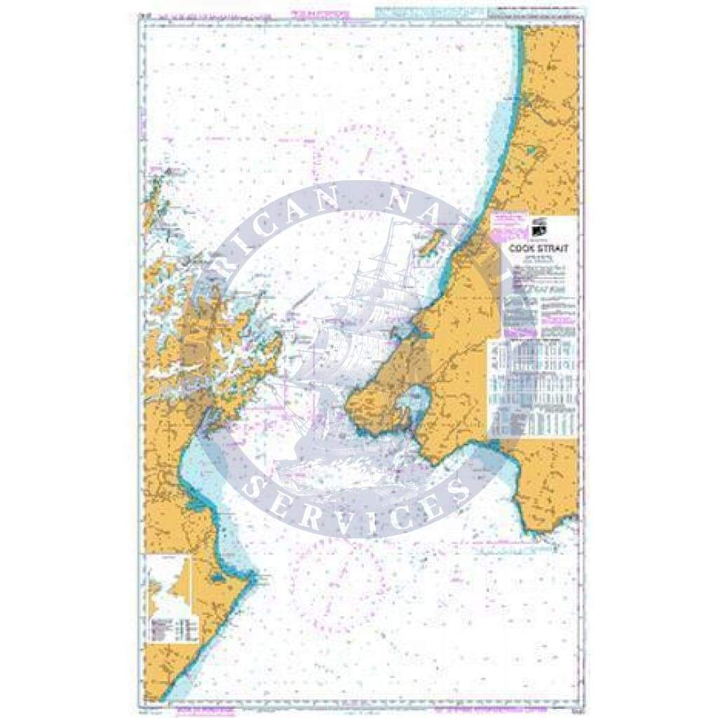
SEMAR Nautical Chart SM634.1: Puerto Chiapas, Chis.
SEMAR Nautical Chart SM634.1: Puerto Chiapas, Chis.
Scale: 1:10,000
Paper Size: 36.0" x 42.0"
Actual Chart Size: 32.0" x 39.0"
SEMAR Nautical Chart SM634.1: Puerto Chiapas, Chis.
Scale: 1:10,000
Paper Size: 36.0" x 42.0"
Actual Chart Size: 32.0" x 39.0"
$13.19
Original : $43.95
-70%SEMAR Nautical Chart SM634.1: Puerto Chiapas, Chis.—
$43.95
$13.19Description
SEMAR Nautical Chart SM634.1: Puerto Chiapas, Chis.
Scale: 1:10,000
Paper Size: 36.0" x 42.0"
Actual Chart Size: 32.0" x 39.0"