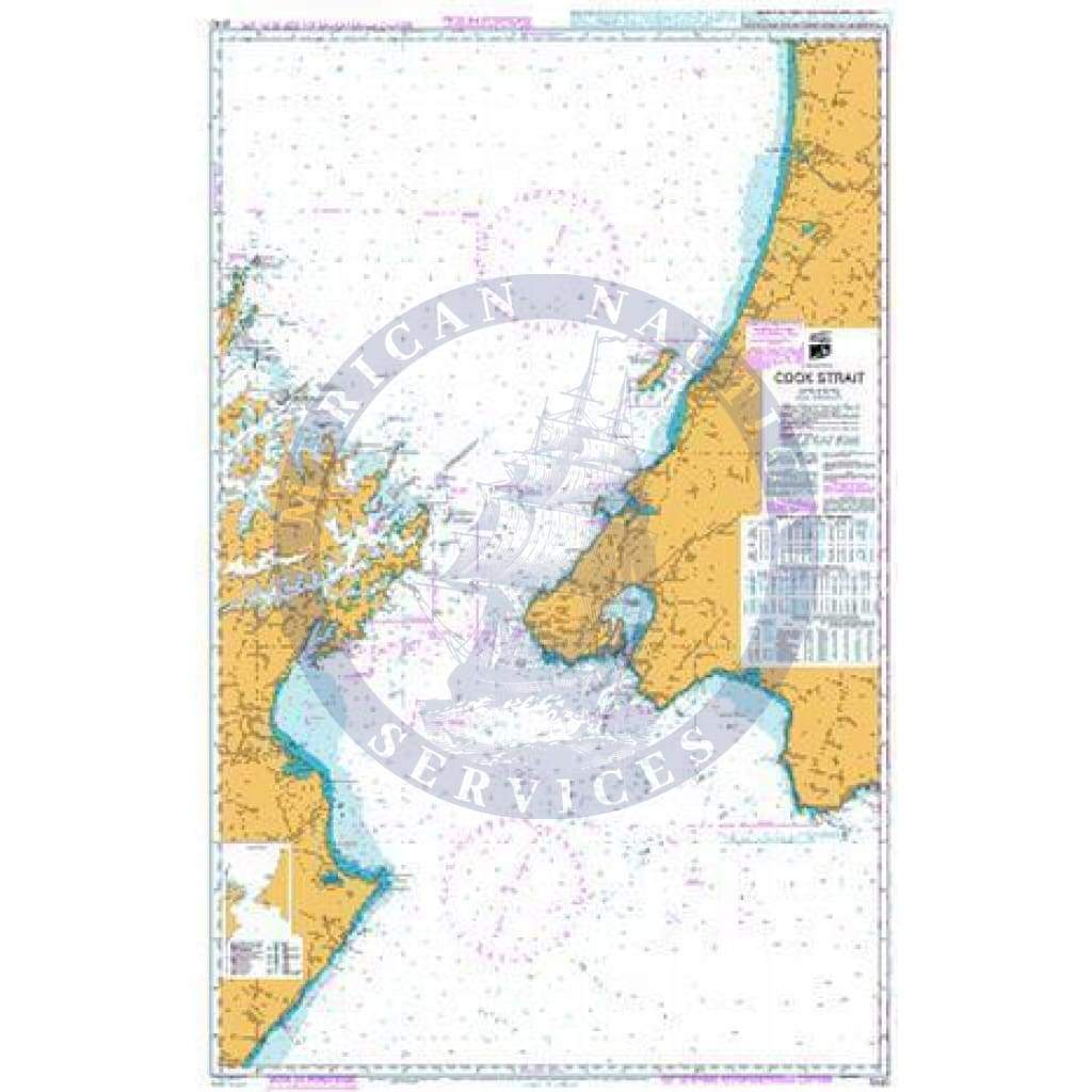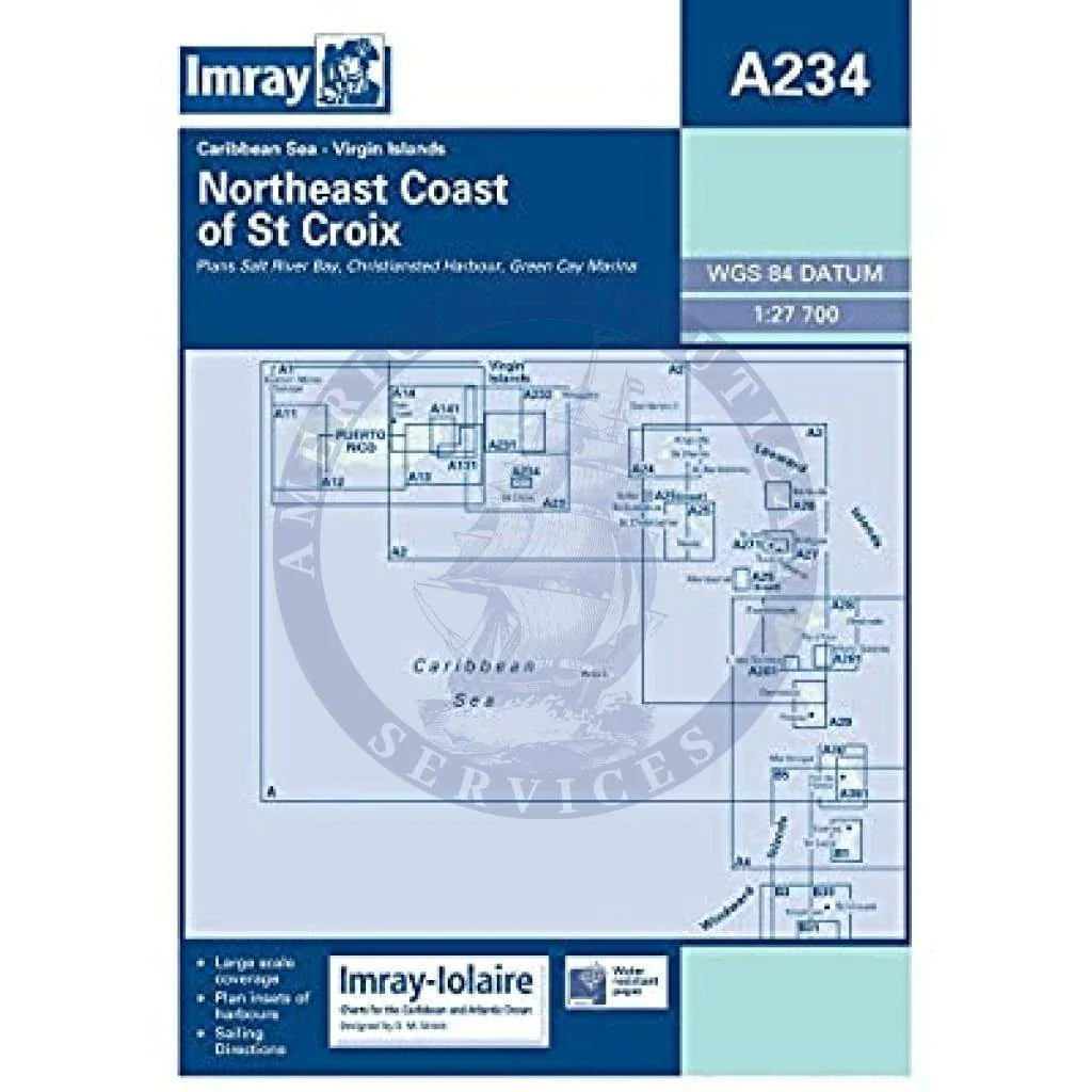
Imray Chart A234: Northeast Coast of St Croix
A234 Northeast Coast of St Croix
Scale: 1:27,700 WGS 84
Imray
Caribbean Sea - Virgin Islands
Plans include:
Salt River Bay
Christiansted Harbour
Green Cay Marina
Water-Resistant Folded – This chart is Water-Resistant, folded, and in a plastic wallet or flat. Sheet size 640 x 900mm.
Water-Resistant Rolled – This is a water-resistant print on demand (POD) chart that is printed up to date and is ideal for framing.
Original : $433,000.00
-70%$433,000.00
$129,900.00Description
A234 Northeast Coast of St Croix
Scale: 1:27,700 WGS 84
Imray
Caribbean Sea - Virgin Islands
Plans include:
Salt River Bay
Christiansted Harbour
Green Cay Marina
Water-Resistant Folded – This chart is Water-Resistant, folded, and in a plastic wallet or flat. Sheet size 640 x 900mm.
Water-Resistant Rolled – This is a water-resistant print on demand (POD) chart that is printed up to date and is ideal for framing.