NOAA Nautical Chart 16556: Chiachi Island to Nagai Island;Chiachi Islands Anchorage
Description
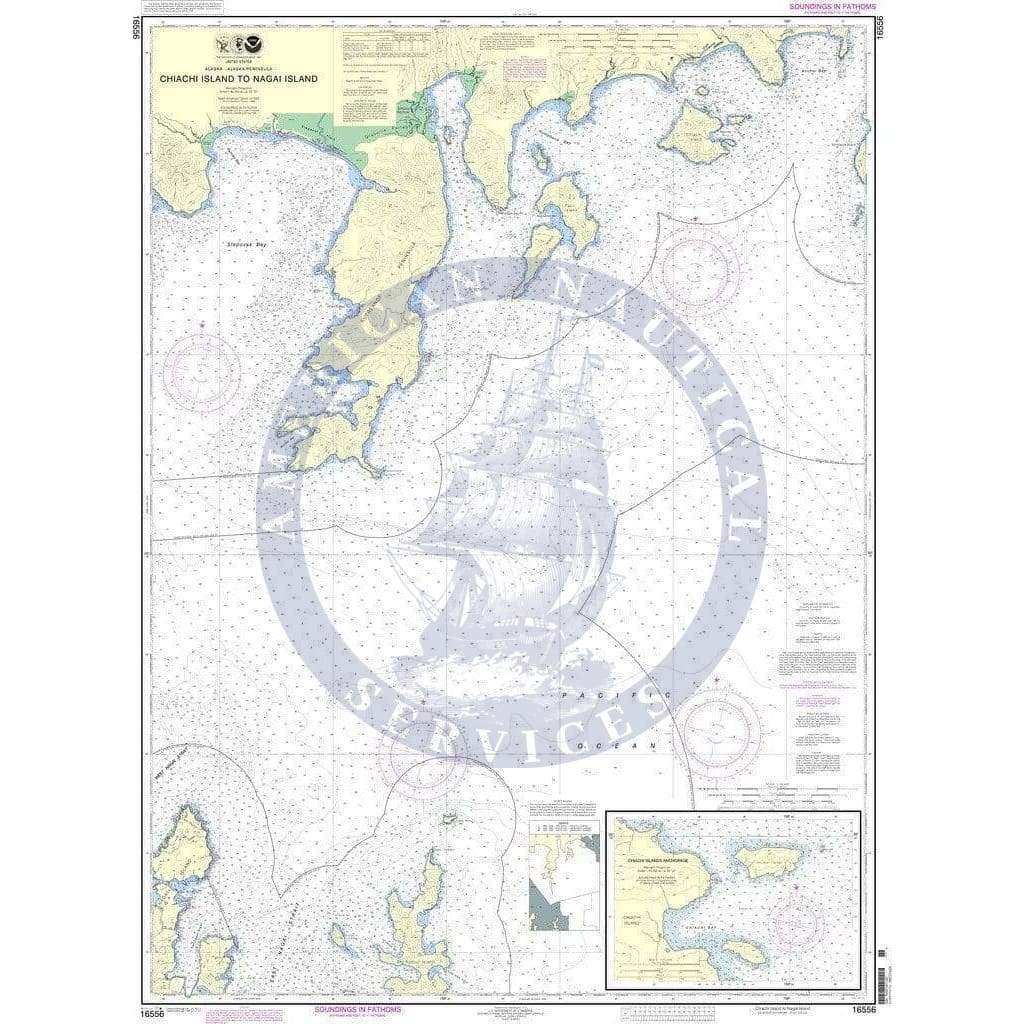
NOAA Nautical Chart 16556: Chiachi Island to Nagai Island;Chiachi Islands Anchorage is a standard navigation chart
The chart you are viewing is NOT updated weekly and does NOT include all of the latest Notice to Mariners corrections. Printed on-demand on water-resistant paper, this chart meets the definition of a nautical chart in SOLAS Chapter V Regulation 2.2 and satisfies carriage requirements in SOLAS Chapter V Regulation 19.2.1.4.
Available Versions
1. NOAA Custom Chart (For Navigation)
- Created using the NOAA Custom Chart (NCC) application.
- Contains all the up-to-date information found in ENCs.
- Printed directly from the NOAA Custom Chart Application.
- Navigation Ready – meets current standards for maritime navigation.
2. NOAA Traditional Chart (Not for Navigation)
- NOAA announced in 2019 its plan to sunset Raster Nautical Charts.
- The Raster Chart sunset program was completed in December 2024.
- This traditional chart is no longer updated and is not suitable for navigational use.
- Retained for historical and reference purposes only.
- [View in Nautical Chart Viewer]
Printing & Material
- On-demand printing ensures the latest available version at the time of order.
- Water-resistant paper for durability in marine environments.
Additional Information
Traditional NOAA Chart (Sunsetted)
Scale: 80,000
Paper Size: 36.0" x 50.0"
Actual Chart Size: 34.3" x 46.9"
Edition #: 6
Edition Date: 2011-07-01
Farewell to Traditional Nautical Charts
Description
NOAA Nautical Chart 16556: Chiachi Island to Nagai Island;Chiachi Islands Anchorage is a standard navigation chart
The chart you are viewing is NOT updated weekly and does NOT include all of the latest Notice to Mariners corrections. Printed on-demand on water-resistant paper, this chart meets the definition of a nautical chart in SOLAS Chapter V Regulation 2.2 and satisfies carriage requirements in SOLAS Chapter V Regulation 19.2.1.4.
Available Versions
1. NOAA Custom Chart (For Navigation)
- Created using the NOAA Custom Chart (NCC) application.
- Contains all the up-to-date information found in ENCs.
- Printed directly from the NOAA Custom Chart Application.
- Navigation Ready – meets current standards for maritime navigation.
2. NOAA Traditional Chart (Not for Navigation)
- NOAA announced in 2019 its plan to sunset Raster Nautical Charts.
- The Raster Chart sunset program was completed in December 2024.
- This traditional chart is no longer updated and is not suitable for navigational use.
- Retained for historical and reference purposes only.
- [View in Nautical Chart Viewer]
Printing & Material
- On-demand printing ensures the latest available version at the time of order.
- Water-resistant paper for durability in marine environments.
Additional Information
Traditional NOAA Chart (Sunsetted)
Scale: 80,000
Paper Size: 36.0" x 50.0"
Actual Chart Size: 34.3" x 46.9"
Edition #: 6
Edition Date: 2011-07-01
Farewell to Traditional Nautical Charts
Original : $309,000.00
-70%$309,000.00
$92,700.00Description
Description
NOAA Nautical Chart 16556: Chiachi Island to Nagai Island;Chiachi Islands Anchorage is a standard navigation chart
The chart you are viewing is NOT updated weekly and does NOT include all of the latest Notice to Mariners corrections. Printed on-demand on water-resistant paper, this chart meets the definition of a nautical chart in SOLAS Chapter V Regulation 2.2 and satisfies carriage requirements in SOLAS Chapter V Regulation 19.2.1.4.
Available Versions
1. NOAA Custom Chart (For Navigation)
- Created using the NOAA Custom Chart (NCC) application.
- Contains all the up-to-date information found in ENCs.
- Printed directly from the NOAA Custom Chart Application.
- Navigation Ready – meets current standards for maritime navigation.
2. NOAA Traditional Chart (Not for Navigation)
- NOAA announced in 2019 its plan to sunset Raster Nautical Charts.
- The Raster Chart sunset program was completed in December 2024.
- This traditional chart is no longer updated and is not suitable for navigational use.
- Retained for historical and reference purposes only.
- [View in Nautical Chart Viewer]
Printing & Material
- On-demand printing ensures the latest available version at the time of order.
- Water-resistant paper for durability in marine environments.
Additional Information
Traditional NOAA Chart (Sunsetted)
Scale: 80,000
Paper Size: 36.0" x 50.0"
Actual Chart Size: 34.3" x 46.9"
Edition #: 6
Edition Date: 2011-07-01
Farewell to Traditional Nautical Charts


