NGA Nautical Chart 920: Plotting Chart 920
NGA Plotting Chart 920 is for use between lattitudes of 4°S to 4°N.
The chart is 35 inches by 46 inches, and the center lattitude is 0°, where a scale of 1:1,095,679 makes every 4 inches on the chart equal to one second of longitude.
NGA Plotting Chart 920 is for use between lattitudes of 4°S to 4°N.
The chart is 35 inches by 46 inches, and the center lattitude is 0°, where a scale of 1:1,095,679 makes every 4 inches on the chart equal to one second of longitude.
$260,000.00
NGA Nautical Chart 920: Plotting Chart 920—
$260,000.00
Description
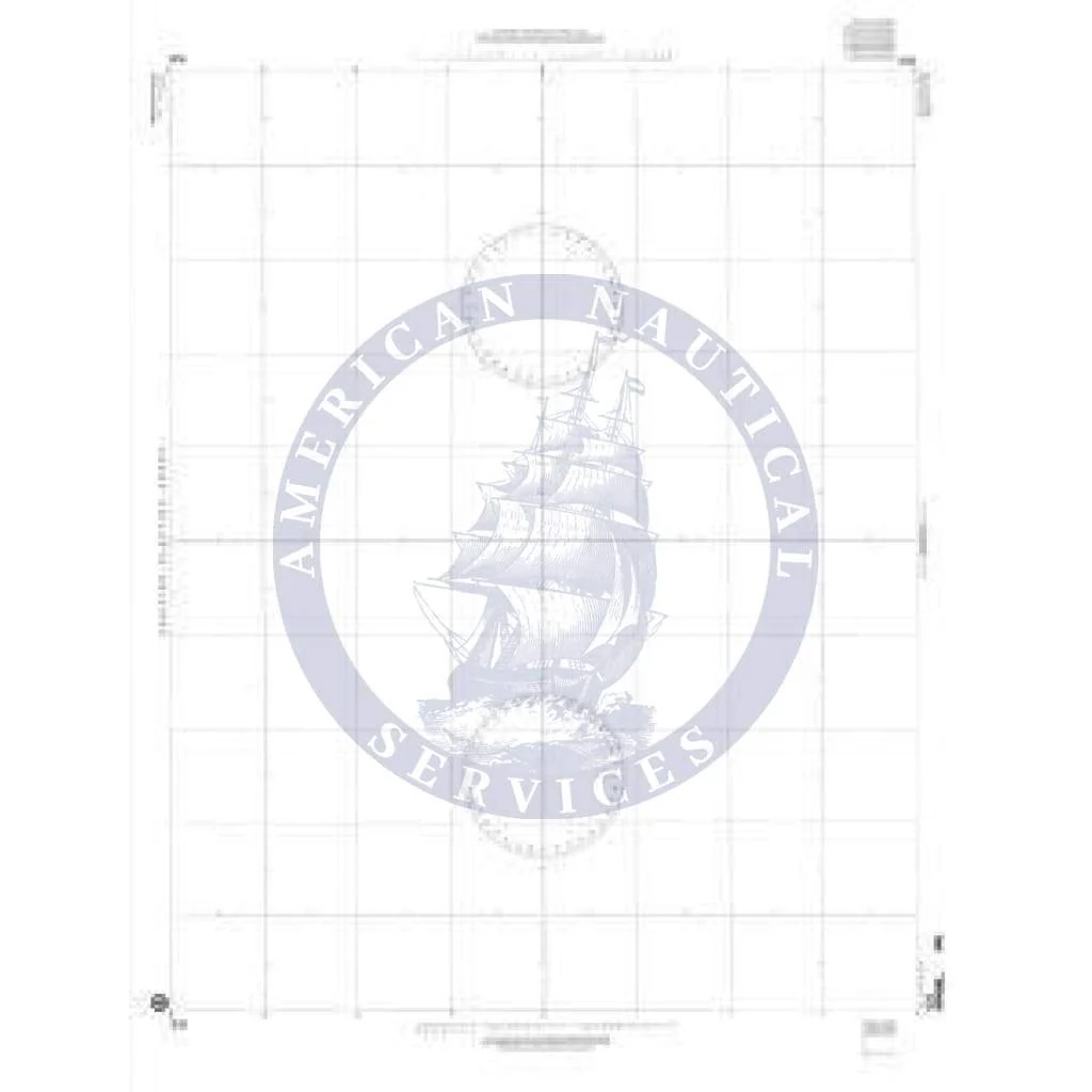
NGA Plotting Chart 920 is for use between lattitudes of 4°S to 4°N.
The chart is 35 inches by 46 inches, and the center lattitude is 0°, where a scale of 1:1,095,679 makes every 4 inches on the chart equal to one second of longitude.


