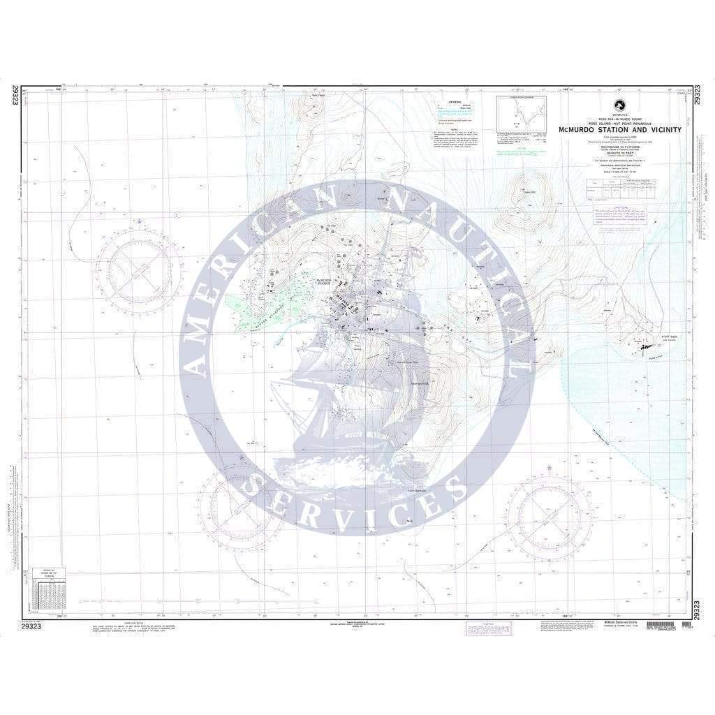
NGA Nautical Chart 29323: McMurdo Station and Vicinity (Ross Island-Hut Point Peninsula)
The chart you are viewing is a NGA standard nautical chart. The National Geospatial-Intelligence Agency (NGA) has partnered with OceanGrafix to provide commercial and recreational mariners with a good source of nautical chart coverage for international waters. These charts are "printed on demand" but do not contain the latest notice to mariner (NTM) corrections. It is the mariner's responsibility that the necessary chart corrections be applied to ensure accuracy and safety of life at sea (SOLAS).
The chart you are viewing is a NGA standard nautical chart. The National Geospatial-Intelligence Agency (NGA) has partnered with OceanGrafix to provide commercial and recreational mariners with a good source of nautical chart coverage for international waters. These charts are "printed on demand" but do not contain the latest notice to mariner (NTM) corrections. It is the mariner's responsibility that the necessary chart corrections be applied to ensure accuracy and safety of life at sea (SOLAS).
Original : $2,400.00
-70%$2,400.00
$720.00Description
The chart you are viewing is a NGA standard nautical chart. The National Geospatial-Intelligence Agency (NGA) has partnered with OceanGrafix to provide commercial and recreational mariners with a good source of nautical chart coverage for international waters. These charts are "printed on demand" but do not contain the latest notice to mariner (NTM) corrections. It is the mariner's responsibility that the necessary chart corrections be applied to ensure accuracy and safety of life at sea (SOLAS).


