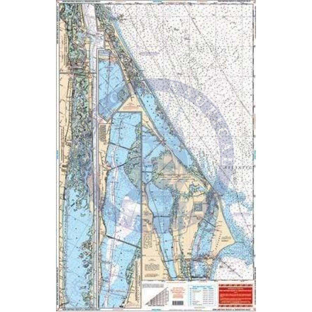
New Smyrna Beach to Sebastian Inlet Navigation Chart 42
Both coastal and intracoastal coverage from Ponce de Leon inlet south through Daytona to Cocoa on side A, including detail of the Banana River and Port Canaveral.
Side B starts at Port Canaveral and covers south to Sebastian Inlet with coastal coverage up to 5 miles offshore and the Intracoastal Waterway. Information from 4 NOAA Charts: 11476, 11472, 11485, & 11484. WGS84 – World Mercator Datum. Size 25″ x 38″.
Original : $346,000.00
-70%$346,000.00
$103,800.00Description
Both coastal and intracoastal coverage from Ponce de Leon inlet south through Daytona to Cocoa on side A, including detail of the Banana River and Port Canaveral.
Side B starts at Port Canaveral and covers south to Sebastian Inlet with coastal coverage up to 5 miles offshore and the Intracoastal Waterway. Information from 4 NOAA Charts: 11476, 11472, 11485, & 11484. WGS84 – World Mercator Datum. Size 25″ x 38″.


