Mobile Bay to Pensacola Waterproof Chart, 2nd Edition
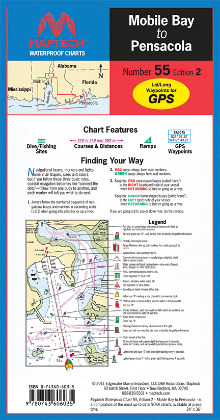
Coverage of Mobile Bay and approaches with the Gulf ICW and nearcoastal route to Pensacola. Waypoints for major aids to navigation, pre-plotted courses and distances, public boat launch locations, and wreck sites. 24" x 36", scale 1:106,666 with insets.
Coverage of Mobile Bay and approaches with the Gulf ICW and nearcoastal route to Pensacola. Waypoints for major aids to navigation, pre-plotted courses and distances, public boat launch locations, and wreck sites. 24" x 36", scale 1:106,666 with insets.
Original : $346,000.00
-70%$346,000.00
$103,800.00Description
Coverage of Mobile Bay and approaches with the Gulf ICW and nearcoastal route to Pensacola. Waypoints for major aids to navigation, pre-plotted courses and distances, public boat launch locations, and wreck sites. 24" x 36", scale 1:106,666 with insets.


