Maptech Waterproof Chartbook: Lower Chesapeake Bay, 1st Edition
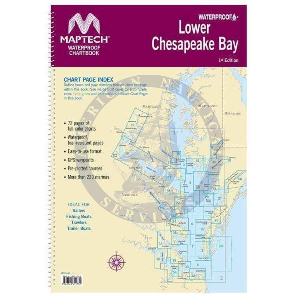
Solomons Island to Norfolk, Va. Offers full-color charts on waterproof, tear-resistant pages. Easy-to-use format includes GPS waypoints, pre-plotted courses and more than 230 marinas. 72 chart pages.
Solomons Island to Norfolk, Va. Offers full-color charts on waterproof, tear-resistant pages. Easy-to-use format includes GPS waypoints, pre-plotted courses and more than 230 marinas. 72 chart pages.
$21.89
Original : $72.95
-70%Maptech Waterproof Chartbook: Lower Chesapeake Bay, 1st Edition—
$72.95
$21.89Description
Solomons Island to Norfolk, Va. Offers full-color charts on waterproof, tear-resistant pages. Easy-to-use format includes GPS waypoints, pre-plotted courses and more than 230 marinas. 72 chart pages.


