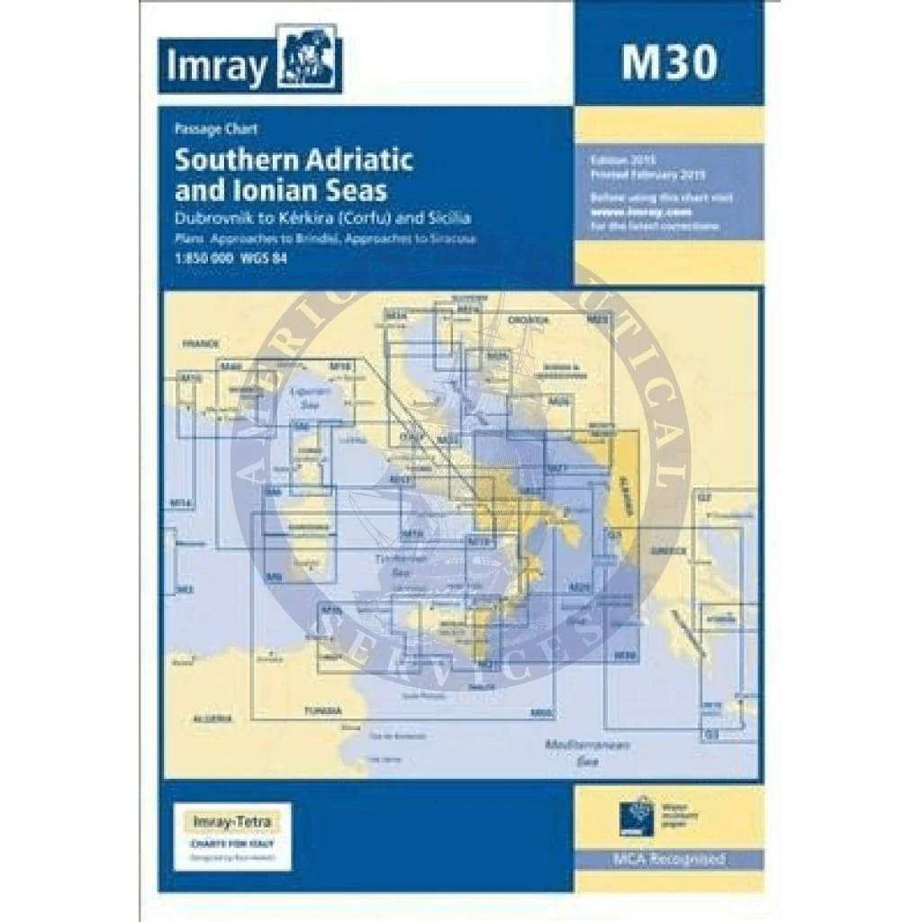
Imray Chart M30: Southern Adriatic and Ionian Seas
M30 Southern Adriatic and Ionian Seas
Dubrovnik to Kérkira (Corfu) & Sicilia
Scale: 1:850 000 WGS84
Imray
Plans included:
Approaches to Brindisi (1:35 000)
Approaches to Siracusa (1:50 000)
For this 2015 edition, the amended TSS at Brindisi is now shown along with revised depths.
Waterproof Folded – This chart is waterproof, folded, and in a plastic wallet or flat. Sheet size 640 x 900mm.
Water-Resistant Rolled – This is a water-resistant print on demand (POD) chart that is printed up to date and is ideal for framing.
Original : $34.95
-70%$34.95
$10.49Description
M30 Southern Adriatic and Ionian Seas
Dubrovnik to Kérkira (Corfu) & Sicilia
Scale: 1:850 000 WGS84
Imray
Plans included:
Approaches to Brindisi (1:35 000)
Approaches to Siracusa (1:50 000)
For this 2015 edition, the amended TSS at Brindisi is now shown along with revised depths.
Waterproof Folded – This chart is waterproof, folded, and in a plastic wallet or flat. Sheet size 640 x 900mm.
Water-Resistant Rolled – This is a water-resistant print on demand (POD) chart that is printed up to date and is ideal for framing.