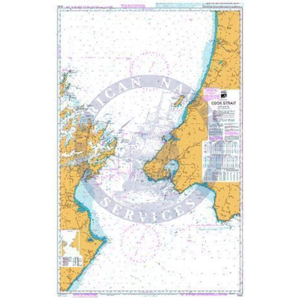
Imray Chart M26: Split to Dubrovnik
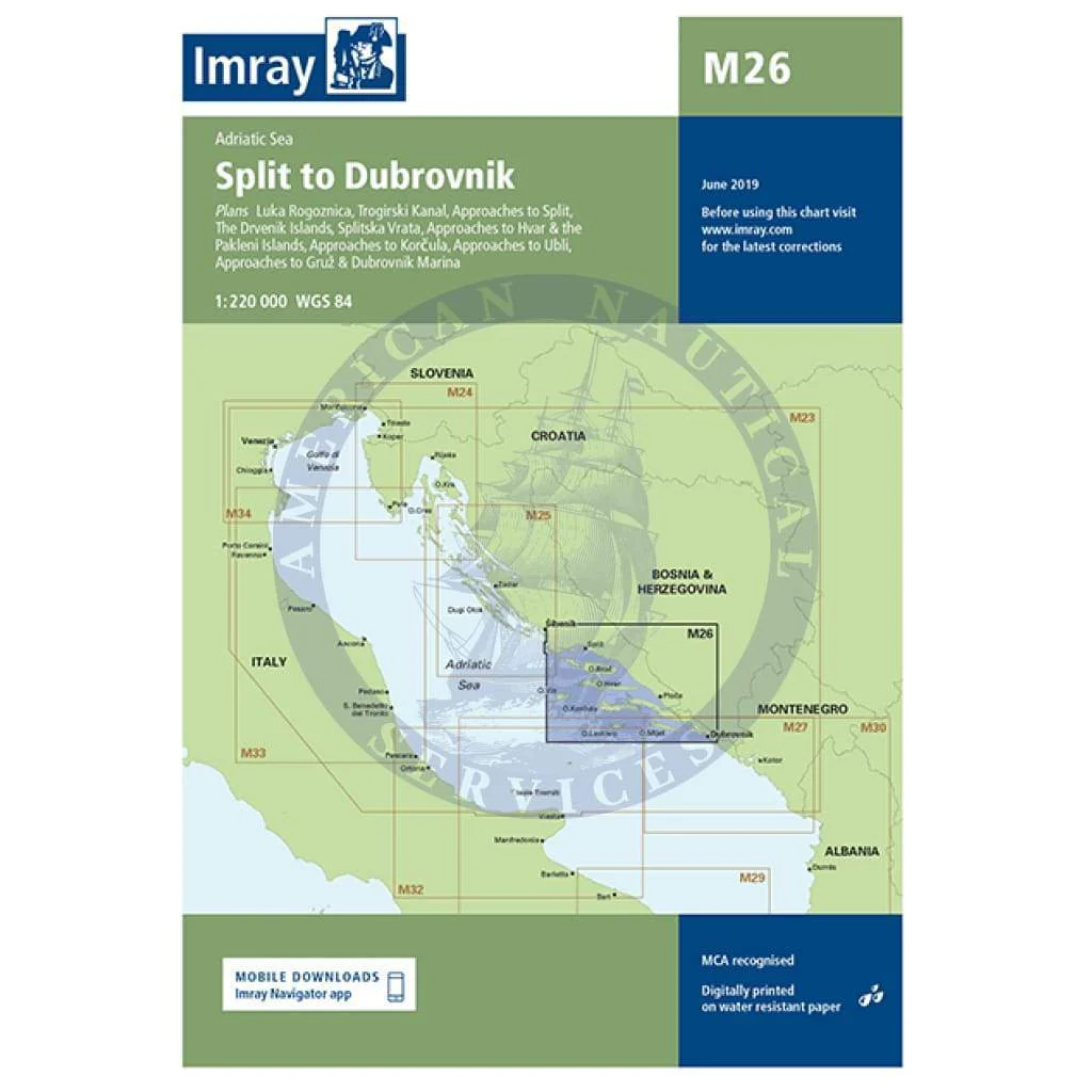
M26 Split to Dubrovnik
Scale: 1:220 000 WGS 84
Imray
Plans included:
Luka Rogoznica (1:85 000)
Trogirski Kanal (1:15 000)
Approaches to Split (1:20 000)
The Drvenik Islands (1:85 000)
Splitska Vrata (1:30 000)
Approaches to Hvar & the Pakleni Islands (1:50 000)
Approaches to Korcula (1:75 000)
Approaches to Ubli (1:85 000)
Approaches to Gruž & Dubrovnik Marina (1:35 000)
On this 2017 edition the limits of marine protected areas have been added to the chart and port developments are shown at Split. The chart specification has been improved to show coloured light flashes. There has been general updating throughout.
Waterproof Folded – This chart is waterproof, folded, and in a plastic wallet or flat. Sheet size 640 x 900mm.
Water-Resistant Rolled – This is a water-resistant print on demand (POD) chart that is printed up to date and is ideal for framing.
Original : $34.95
-70%$34.95
$10.49Description
M26 Split to Dubrovnik
Scale: 1:220 000 WGS 84
Imray
Plans included:
Luka Rogoznica (1:85 000)
Trogirski Kanal (1:15 000)
Approaches to Split (1:20 000)
The Drvenik Islands (1:85 000)
Splitska Vrata (1:30 000)
Approaches to Hvar & the Pakleni Islands (1:50 000)
Approaches to Korcula (1:75 000)
Approaches to Ubli (1:85 000)
Approaches to Gruž & Dubrovnik Marina (1:35 000)
On this 2017 edition the limits of marine protected areas have been added to the chart and port developments are shown at Split. The chart specification has been improved to show coloured light flashes. There has been general updating throughout.
Waterproof Folded – This chart is waterproof, folded, and in a plastic wallet or flat. Sheet size 640 x 900mm.
Water-Resistant Rolled – This is a water-resistant print on demand (POD) chart that is printed up to date and is ideal for framing.