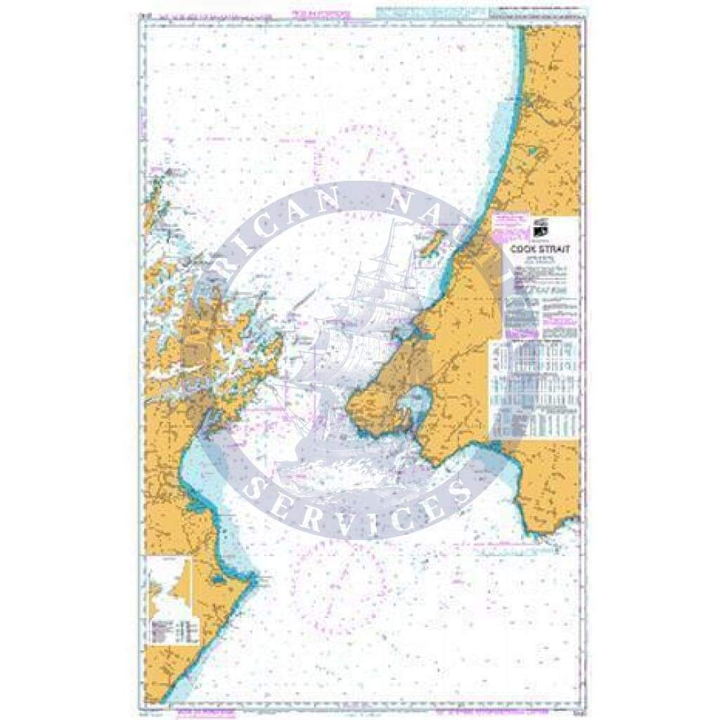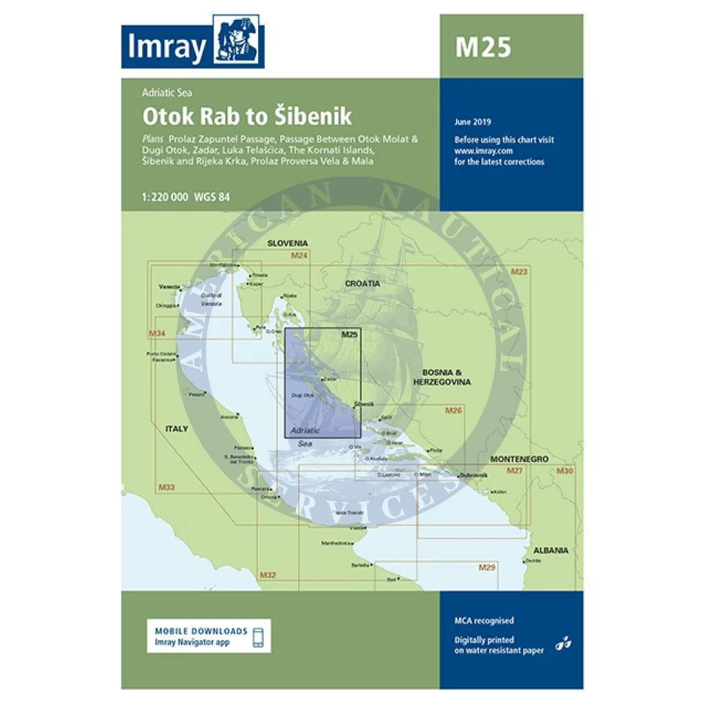
Imray Chart M25: Otok Rab to Sibenik
M25 Otok Rab to Sibenik
Adriatic Sea
Scale: 1:220,000 WGS 84
Imray
Plans included:
Prolaz Zapuntel Passage (sketch plan)
Passage Between Otok Molat & Dugi Otok (1:60 000)
Zadar (1:25 000)
Luka Telašcica (1:45 000)
The Kornati Islands (1:50 000)
Šibenik and Rijeka Krka (1:50 000)
Prolaz Proversa Vela & Mala (1:35 000)
On this 2017 edition the limits of marine protected areas have now been added to the chart. The sketch plan of Prolaz Proversa Vela & Mala has been replaced with a fully georeferenced WGS84-compatible plan. The chart specification has been improved to show coloured light flashes. There has been general updating throughout.
Waterproof Folded – This chart is waterproof, folded, and in a plastic wallet or flat. Sheet size 640 x 900mm.
Water-Resistant Rolled – This is a water-resistant print on demand (POD) chart that is printed up to date and is ideal for framing.
Original : $34.95
-70%$34.95
$10.49Description
M25 Otok Rab to Sibenik
Adriatic Sea
Scale: 1:220,000 WGS 84
Imray
Plans included:
Prolaz Zapuntel Passage (sketch plan)
Passage Between Otok Molat & Dugi Otok (1:60 000)
Zadar (1:25 000)
Luka Telašcica (1:45 000)
The Kornati Islands (1:50 000)
Šibenik and Rijeka Krka (1:50 000)
Prolaz Proversa Vela & Mala (1:35 000)
On this 2017 edition the limits of marine protected areas have now been added to the chart. The sketch plan of Prolaz Proversa Vela & Mala has been replaced with a fully georeferenced WGS84-compatible plan. The chart specification has been improved to show coloured light flashes. There has been general updating throughout.
Waterproof Folded – This chart is waterproof, folded, and in a plastic wallet or flat. Sheet size 640 x 900mm.
Water-Resistant Rolled – This is a water-resistant print on demand (POD) chart that is printed up to date and is ideal for framing.