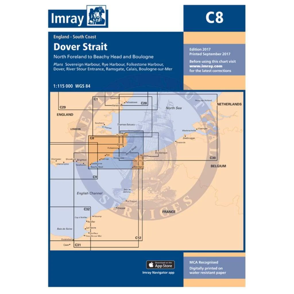
Imray Chart C8: Dover Strait - North Foreland to Beachy Head and Boulogne
C8 Dover Strait
North Foreland to Beachy Head and Boulogne
Scale: 1:115 000 WGS 84
Imray
Plans included:
Sovereign Harbour (1:20 000)
Rye Harbour (1:35 000)
Folkestone Harbour (1:10 000)
Dover (1:15 000)
River Stour Entrance (1:35 000)
Ramsgate (1:6500)
Calais (1:20 000)
Boulogne-sur-Mer (1:25 000)
On this 2017 edition the latest depth surveys have been applied. The chart specification has been improved to show coloured light flashes. There has been general updating throughout.
Waterproof Folded – This chart is waterproof, folded, and in a plastic wallet or flat.
Water-Resistant Rolled – This is a water-resistant print on demand (POD) chart that is printed up to date and is ideal for framing.
Original : $34.95
-70%$34.95
$10.49Description
C8 Dover Strait
North Foreland to Beachy Head and Boulogne
Scale: 1:115 000 WGS 84
Imray
Plans included:
Sovereign Harbour (1:20 000)
Rye Harbour (1:35 000)
Folkestone Harbour (1:10 000)
Dover (1:15 000)
River Stour Entrance (1:35 000)
Ramsgate (1:6500)
Calais (1:20 000)
Boulogne-sur-Mer (1:25 000)
On this 2017 edition the latest depth surveys have been applied. The chart specification has been improved to show coloured light flashes. There has been general updating throughout.
Waterproof Folded – This chart is waterproof, folded, and in a plastic wallet or flat.
Water-Resistant Rolled – This is a water-resistant print on demand (POD) chart that is printed up to date and is ideal for framing.