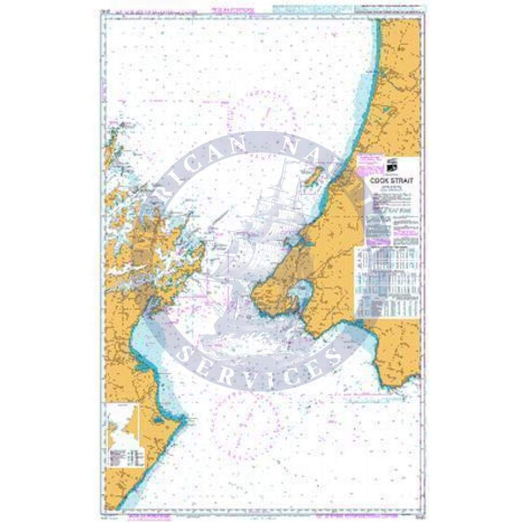
Imray Chart C62: Irish Sea
C62 Irish Sea
Scale: 1:280,000 WGS 84
Imray
On this July 2016 edition the latest depth surveys have been applied throughout. The latest firing practice areas are shown, as is up to date wind farm information. The chart has had general updating throughout.
Plans included:
Carrickfergus (1:15 000)
Bangor Bay (1:17 500)
Entrance to Strangford Lough (1:37 500)
Portaferry Marina (1:7500)
Strangford (1:5000)
Ardglass (1:15 000)
Entrance to Carlingford Lough (1:26 000)
Malahide Inlet (1:35 000)
Howth (1:12 500)
Dun Laoghaire Harbour (1:15 000)
Ribble Estuary (1:125 000)
Approaches to Fleetwood (1:50 000)
River Lune (1:100 000)
Continuation to Carlingford Marina (1:40 000)
Continuation to Preston (1:125 000)
Waterproof Folded – This chart is waterproof, folded, and in a plastic wallet or flat.
Water-Resistant Rolled – This is a water-resistant print on demand (POD) chart that is printed up to date and is ideal for framing.
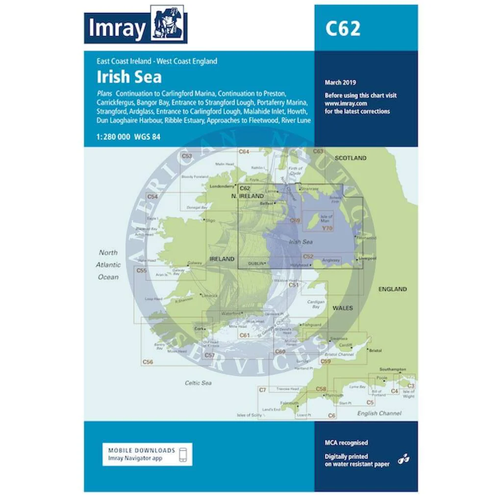
Description
C62 Irish Sea
Scale: 1:280,000 WGS 84
Imray
On this July 2016 edition the latest depth surveys have been applied throughout. The latest firing practice areas are shown, as is up to date wind farm information. The chart has had general updating throughout.
Plans included:
Carrickfergus (1:15 000)
Bangor Bay (1:17 500)
Entrance to Strangford Lough (1:37 500)
Portaferry Marina (1:7500)
Strangford (1:5000)
Ardglass (1:15 000)
Entrance to Carlingford Lough (1:26 000)
Malahide Inlet (1:35 000)
Howth (1:12 500)
Dun Laoghaire Harbour (1:15 000)
Ribble Estuary (1:125 000)
Approaches to Fleetwood (1:50 000)
River Lune (1:100 000)
Continuation to Carlingford Marina (1:40 000)
Continuation to Preston (1:125 000)
Waterproof Folded – This chart is waterproof, folded, and in a plastic wallet or flat.
Water-Resistant Rolled – This is a water-resistant print on demand (POD) chart that is printed up to date and is ideal for framing.