1 / 2
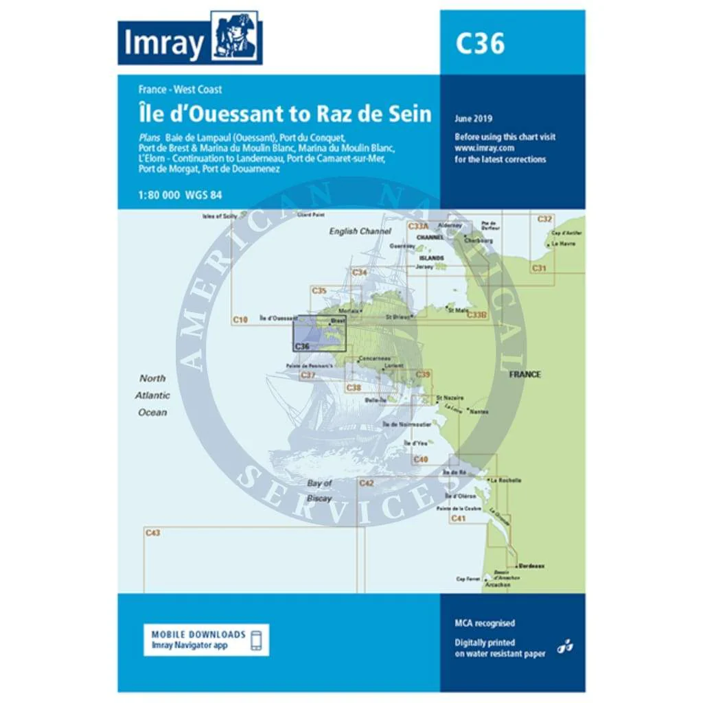
Imray Chart C36: Île d’Ouessant to Raz de Seine
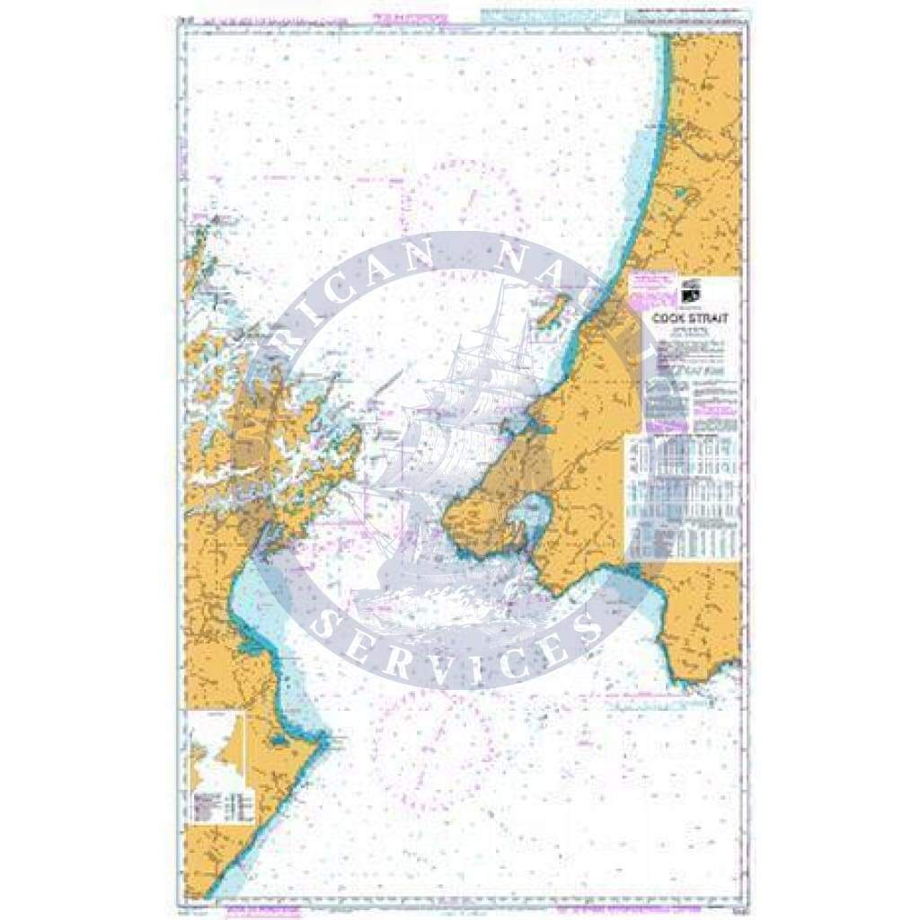
C36 Ile d’Ouessant to Raz de Seine
Scale: 1:80 000 WGS 84
Imray
Plans included:
Baie de Lampaul (Ouessant) (1:30 000)
Port du Conquet (1:20 000)
Port de Brest & Marina du Moulin Blanc (1:30 000)
Marina du Moulin Blanc (1:9000)
L’Elorn - Continuation to Landerneau (1:80 000)
Port de Camaret-sur-Mer (1:12 500)
Port de Morgat (1:15 000)
Port de Douarnenez (1:15 000)
On this edition the chart specification has been improved to show coloured light flashes. Depths have been updated from the latest available surveys. There has been general updating throughout.
Waterproof Folded – This chart is waterproof, folded, and in a plastic wallet or flat.
Water-Resistant Rolled – This is a water-resistant print on demand (POD) chart that is printed up to date and is ideal for framing.
Choisir Media
À partir de $10.49
Original : $34.95
-70%Imray Chart C36: Île d’Ouessant to Raz de Seine—
$34.95
$10.49Description
C36 Ile d’Ouessant to Raz de Seine
Scale: 1:80 000 WGS 84
Imray
Plans included:
Baie de Lampaul (Ouessant) (1:30 000)
Port du Conquet (1:20 000)
Port de Brest & Marina du Moulin Blanc (1:30 000)
Marina du Moulin Blanc (1:9000)
L’Elorn - Continuation to Landerneau (1:80 000)
Port de Camaret-sur-Mer (1:12 500)
Port de Morgat (1:15 000)
Port de Douarnenez (1:15 000)
On this edition the chart specification has been improved to show coloured light flashes. Depths have been updated from the latest available surveys. There has been general updating throughout.
Waterproof Folded – This chart is waterproof, folded, and in a plastic wallet or flat.
Water-Resistant Rolled – This is a water-resistant print on demand (POD) chart that is printed up to date and is ideal for framing.
Scale: 1:80 000 WGS 84
Imray
Plans included:
Baie de Lampaul (Ouessant) (1:30 000)
Port du Conquet (1:20 000)
Port de Brest & Marina du Moulin Blanc (1:30 000)
Marina du Moulin Blanc (1:9000)
L’Elorn - Continuation to Landerneau (1:80 000)
Port de Camaret-sur-Mer (1:12 500)
Port de Morgat (1:15 000)
Port de Douarnenez (1:15 000)
On this edition the chart specification has been improved to show coloured light flashes. Depths have been updated from the latest available surveys. There has been general updating throughout.
Waterproof Folded – This chart is waterproof, folded, and in a plastic wallet or flat.
Water-Resistant Rolled – This is a water-resistant print on demand (POD) chart that is printed up to date and is ideal for framing.