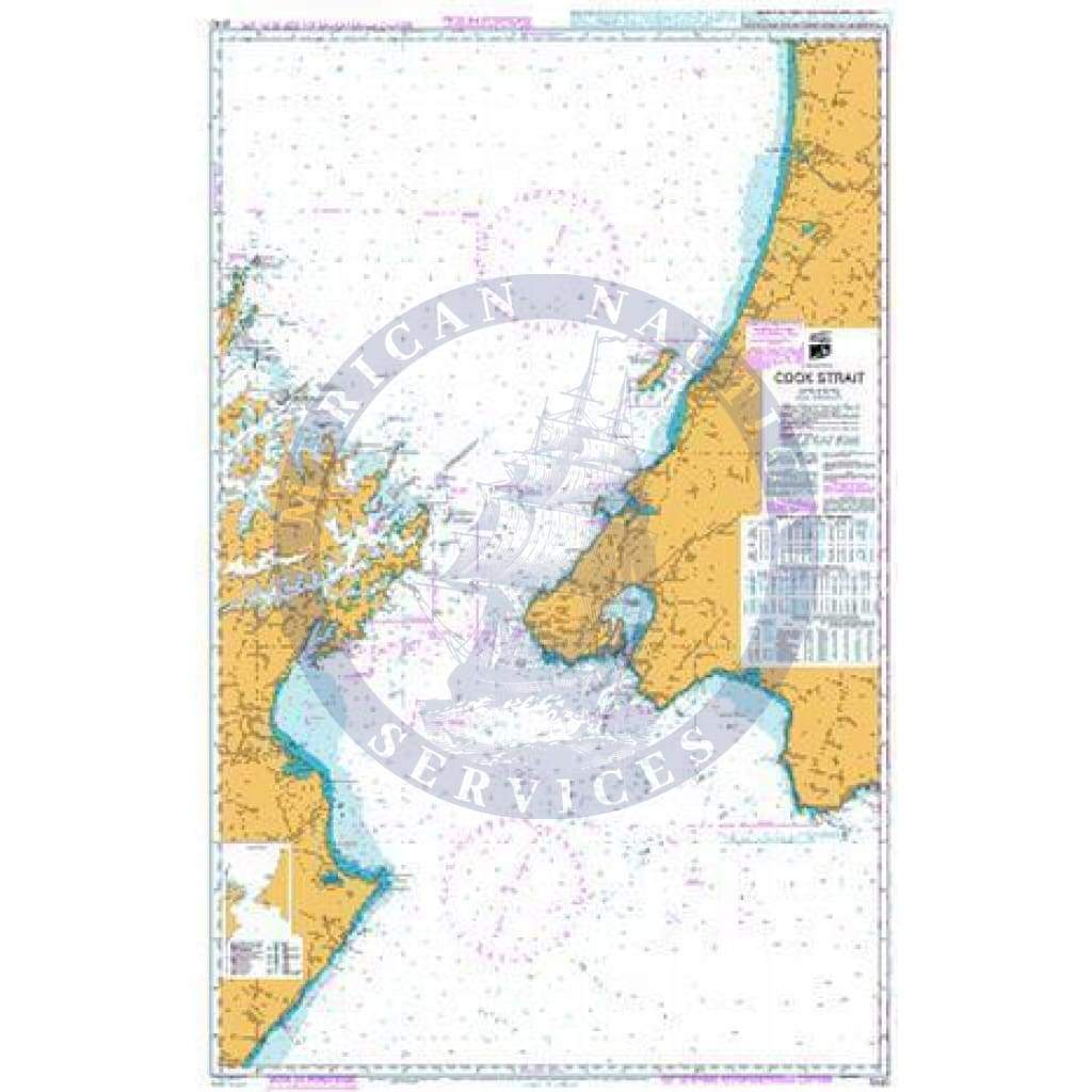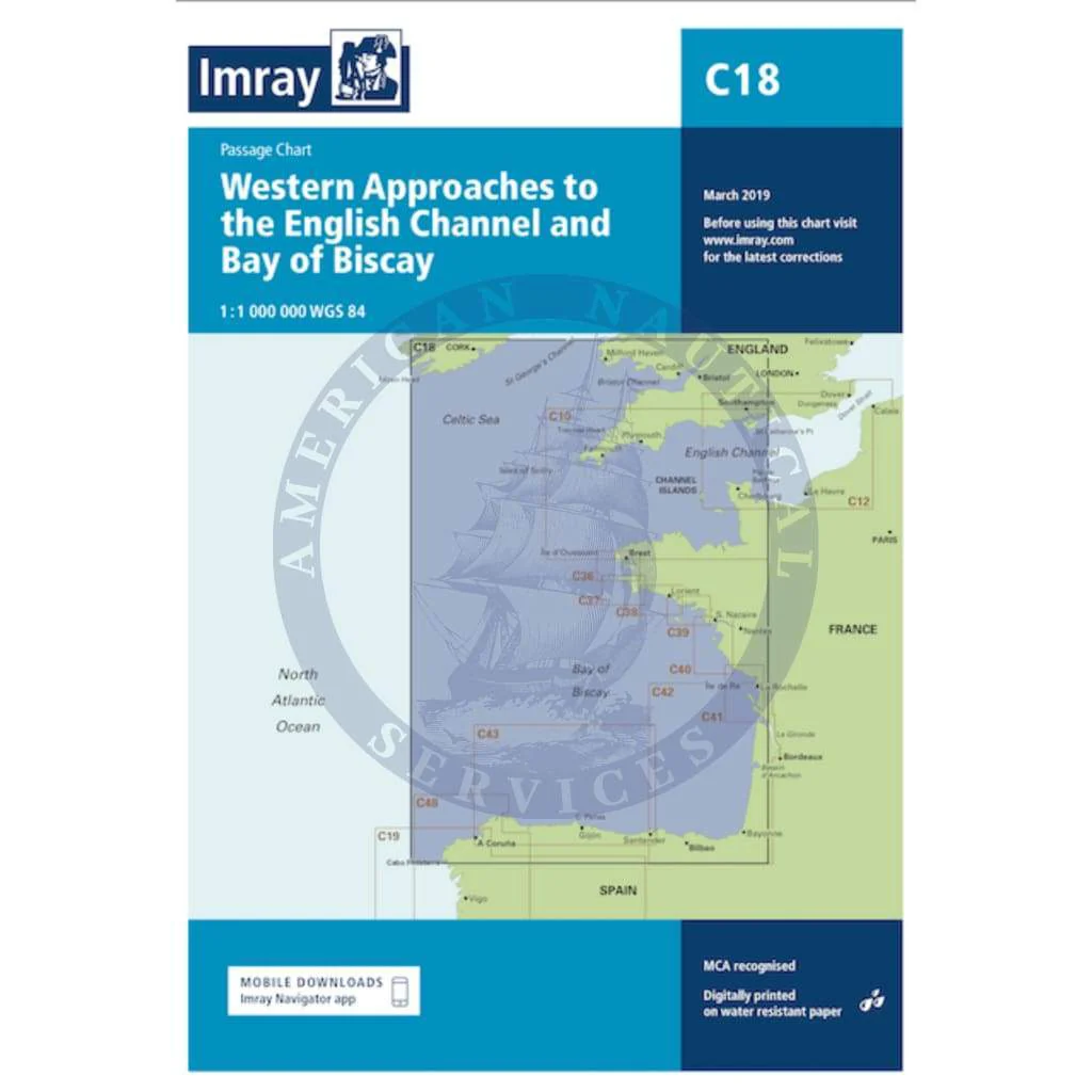
Imray Chart C18: Western Approaches to the English Channel & Bay of Biscay
C18 Western Approaches to the English Channel & Bay of Biscay
Passage Chart
Scale: 1:1,000,000 WGS 84
Imray
For this 2016 edition the chart has been fully updated throughout using the latest known depths, buoyage, and areas and limits.
Water-Resistant Folded – This chart is Water-Resistant, folded, and in a plastic wallet or flat.
Water-Resistant Rolled – This is a water-resistant print on demand (POD) chart that is printed up to date and is ideal for framing.
up to date and is ideal for framing.
Original : $34.95
-70%$34.95
$10.49Description
C18 Western Approaches to the English Channel & Bay of Biscay
Passage Chart
Scale: 1:1,000,000 WGS 84
Imray
For this 2016 edition the chart has been fully updated throughout using the latest known depths, buoyage, and areas and limits.
Water-Resistant Folded – This chart is Water-Resistant, folded, and in a plastic wallet or flat.
Water-Resistant Rolled – This is a water-resistant print on demand (POD) chart that is printed up to date and is ideal for framing.
up to date and is ideal for framing.