Horseshoe Beach to Carrabelle Waterproof Chart, 1st Edition
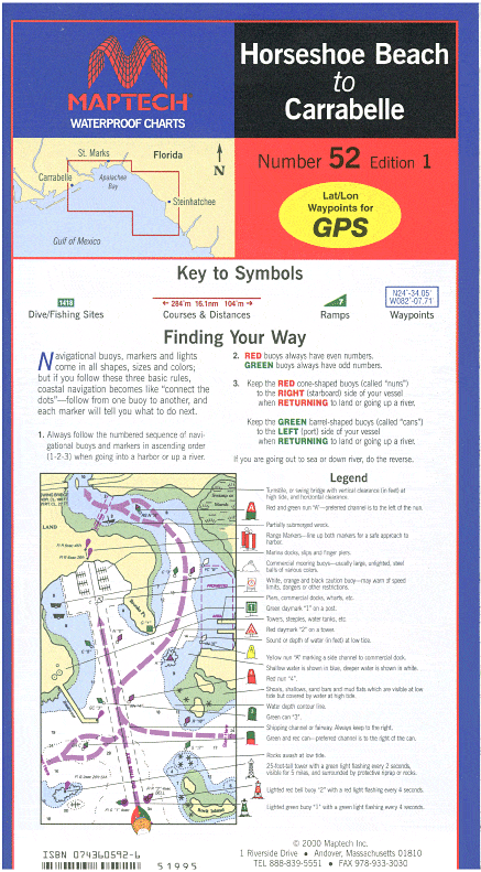
Includes insets for Horshoe Beach, St. Marks River, and Carrabelle. Features waypoints for major aids to navigation, pre-plotted courses and distances, public boat launch locations, fish and dive sites and tables. 24" x 36", scale 1:114,285 with insets.
Includes insets for Horshoe Beach, St. Marks River, and Carrabelle. Features waypoints for major aids to navigation, pre-plotted courses and distances, public boat launch locations, fish and dive sites and tables. 24" x 36", scale 1:114,285 with insets.
Original : $346,000.00
-70%$346,000.00
$103,800.00Description
Includes insets for Horshoe Beach, St. Marks River, and Carrabelle. Features waypoints for major aids to navigation, pre-plotted courses and distances, public boat launch locations, fish and dive sites and tables. 24" x 36", scale 1:114,285 with insets.


