Global Wind Patterns Map
The Global Wind Patterns map demonstrates extensive international wind patterns and global air pressure.
The map depicts directions of prevailing and local winds for northern and southern winters, including major high and low global air pressure zones.
Two inset maps show the global northern and southern winter air pressure distribution and winds are listed by continent for reference.
Full colour laminated map in size A3
Original : $55.95
-70%$55.95
$16.79Description
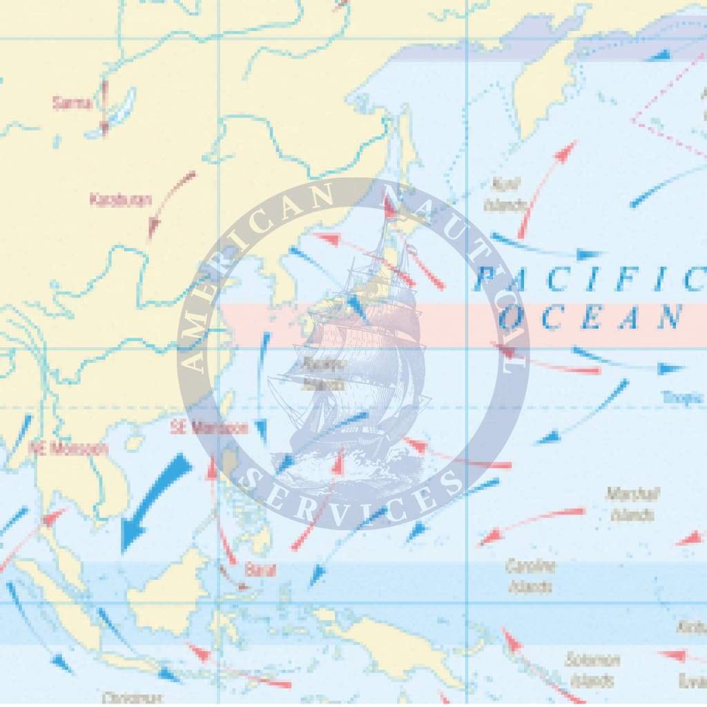
The Global Wind Patterns map demonstrates extensive international wind patterns and global air pressure.
The map depicts directions of prevailing and local winds for northern and southern winters, including major high and low global air pressure zones.
Two inset maps show the global northern and southern winter air pressure distribution and winds are listed by continent for reference.
Full colour laminated map in size A3


