1 / 2
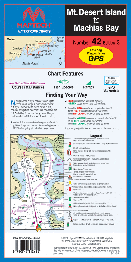
Mt. Desert Island to Machias Bay Waterproof Chart, 3rd Edition
Blue Hill Bay to Machias Bay. The best chart of Mt. Desert Island area! Featuring waypoints for major buoys, courses and distances, wreck sites, and ramp locations and information. 24" x 36", scale 1:57,140 with insets.
Blue Hill Bay to Machias Bay. The best chart of Mt. Desert Island area! Featuring waypoints for major buoys, courses and distances, wreck sites, and ramp locations and information. 24" x 36", scale 1:57,140 with insets.
$8.38
Original : $27.95
-70%Mt. Desert Island to Machias Bay Waterproof Chart, 3rd Edition—
$27.95
$8.38Description
Blue Hill Bay to Machias Bay. The best chart of Mt. Desert Island area! Featuring waypoints for major buoys, courses and distances, wreck sites, and ramp locations and information. 24" x 36", scale 1:57,140 with insets.


