1 / 2
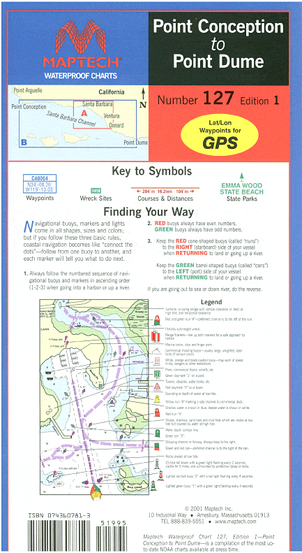
Point Conception to Point Dume Waterproof Chart, 1st Edition
The chart for crossing to the Channel Islands! Includes charts of Santa Barbara, Ventura, and Channel Islands Harbor. Contains pre-plotted GPS waypoints, courses and marinas. 24” x 36” Approximate scales 1:232,188 and 1:58,824 with insets.
The chart for crossing to the Channel Islands! Includes charts of Santa Barbara, Ventura, and Channel Islands Harbor. Contains pre-plotted GPS waypoints, courses and marinas. 24” x 36” Approximate scales 1:232,188 and 1:58,824 with insets.
$8.38
Original : $27.95
-70%Point Conception to Point Dume Waterproof Chart, 1st Edition—
$27.95
$8.38Description
The chart for crossing to the Channel Islands! Includes charts of Santa Barbara, Ventura, and Channel Islands Harbor. Contains pre-plotted GPS waypoints, courses and marinas. 24” x 36” Approximate scales 1:232,188 and 1:58,824 with insets.


