Penobscot Bay Waterproof Chart, 3rd Edition
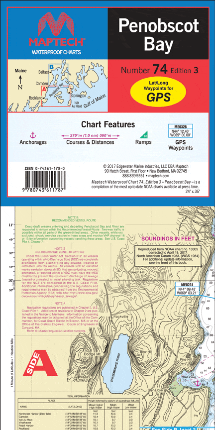
A great chart for exploring Penobscot Bay. Detailed insets of Rockland, Camden, Stonington, Fox Islands Thorofare, and The Reach. Features: waypoints for major buoys, courses and distances, and ramp locations. 24" x 36", scale 1:47,000, with insets.
A great chart for exploring Penobscot Bay. Detailed insets of Rockland, Camden, Stonington, Fox Islands Thorofare, and The Reach. Features: waypoints for major buoys, courses and distances, and ramp locations. 24" x 36", scale 1:47,000, with insets.
Original : $27.95
-70%$27.95
$8.38Description
A great chart for exploring Penobscot Bay. Detailed insets of Rockland, Camden, Stonington, Fox Islands Thorofare, and The Reach. Features: waypoints for major buoys, courses and distances, and ramp locations. 24" x 36", scale 1:47,000, with insets.


