Chart Kit Region 2: Block Island, RI to the Canadian Border, 18th Edition
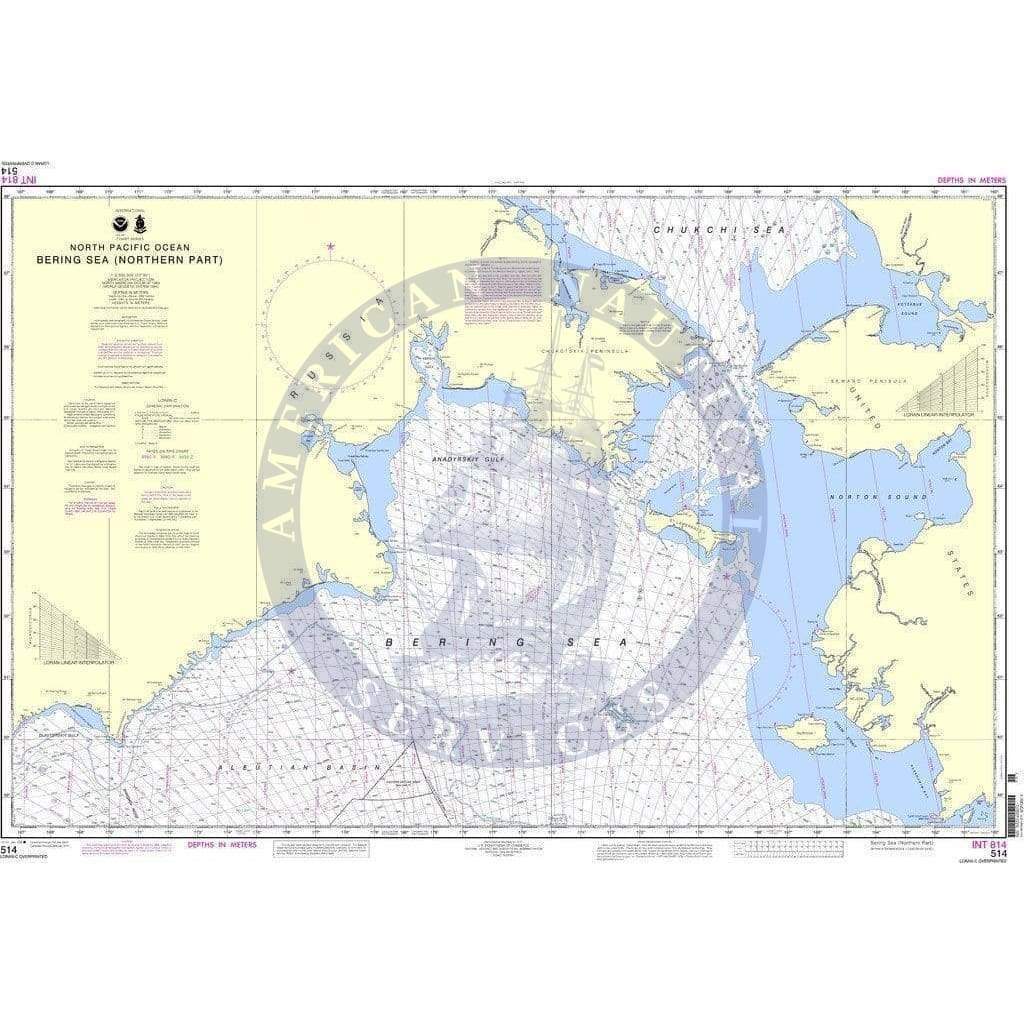
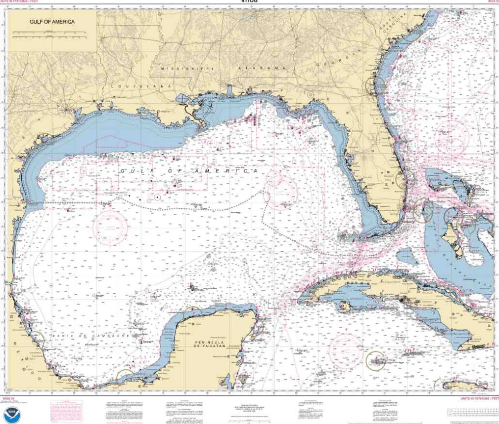
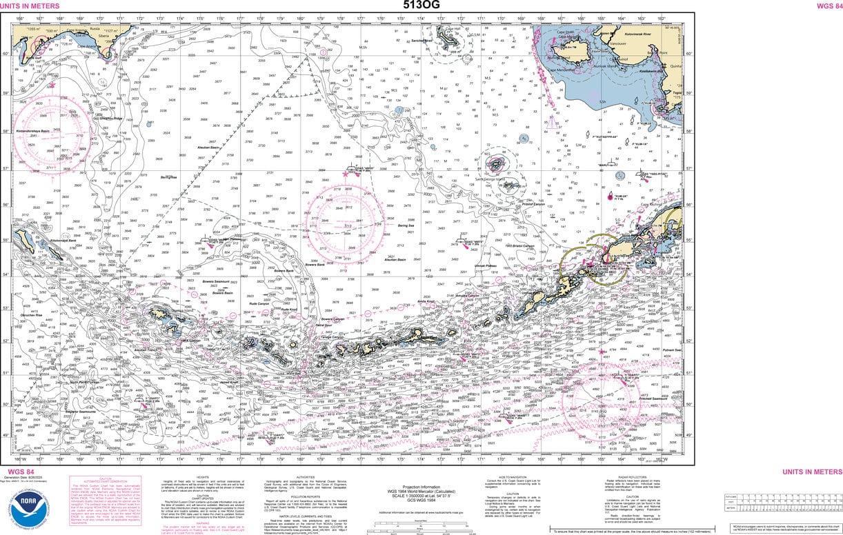
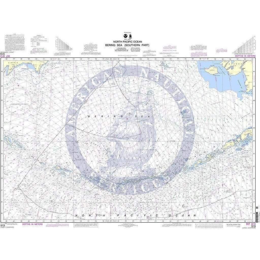
Maptech Chart Kit Region 2, 18th Edition - Block Island, R.I. to the Canadian Border.
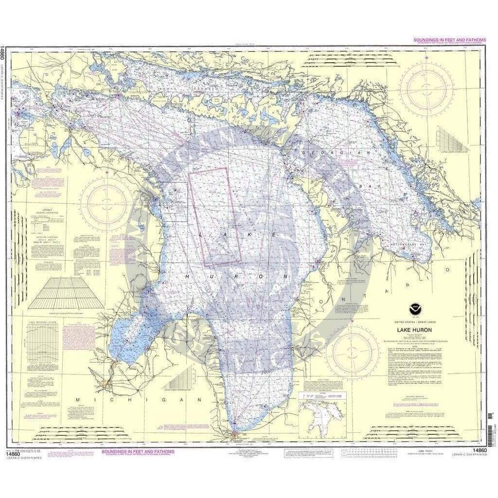
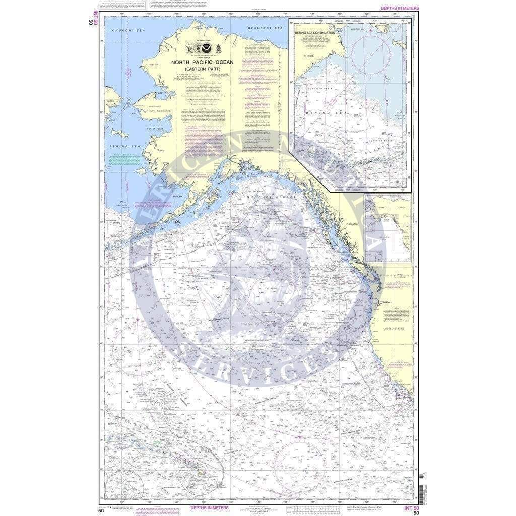
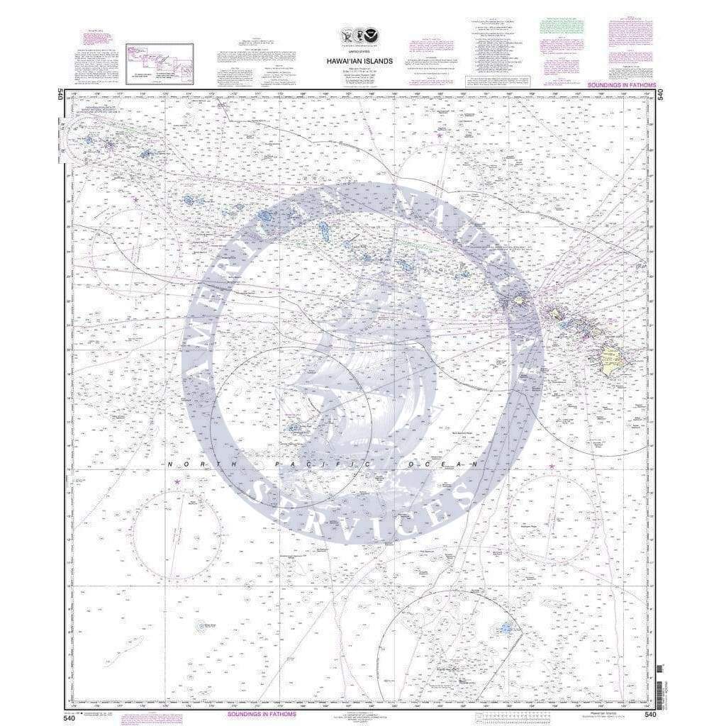
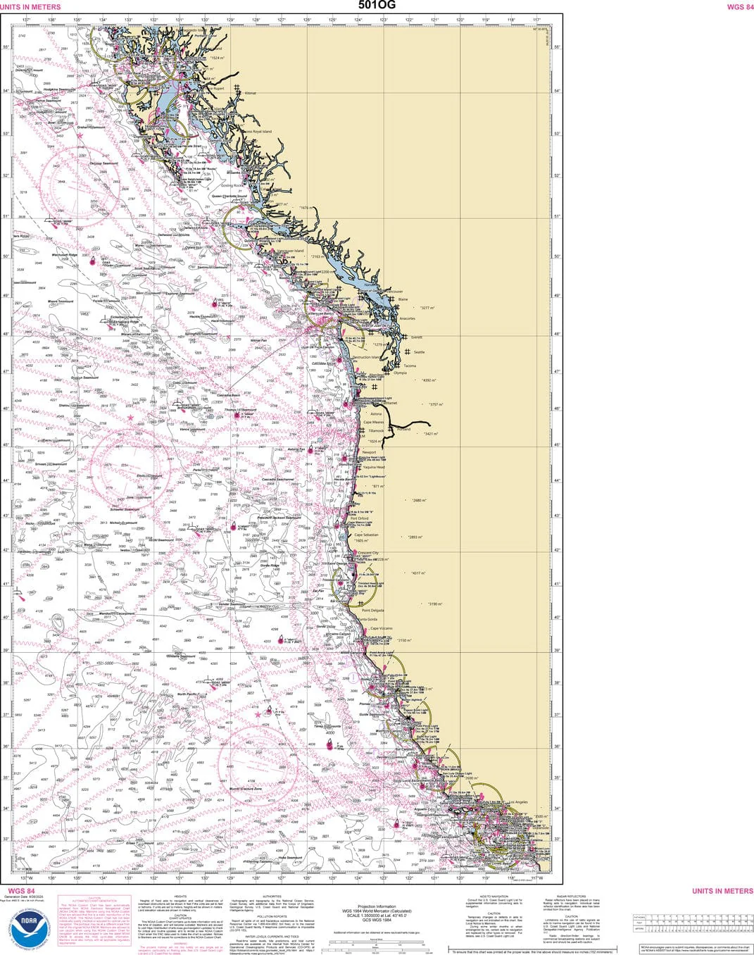
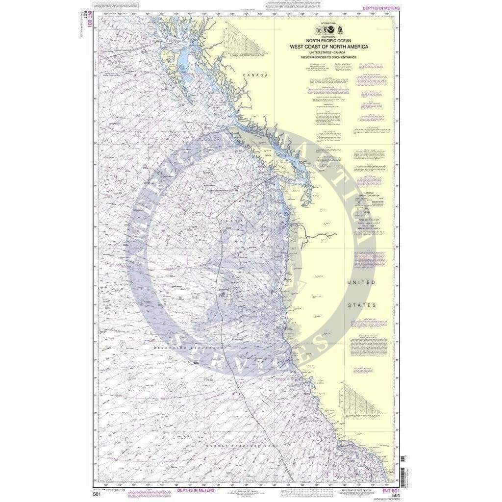
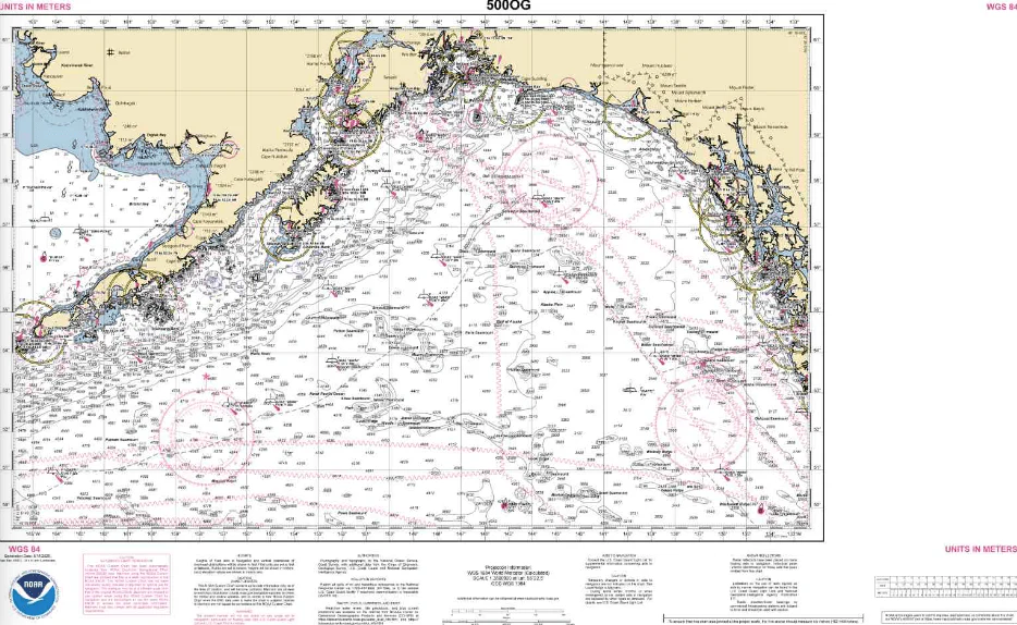
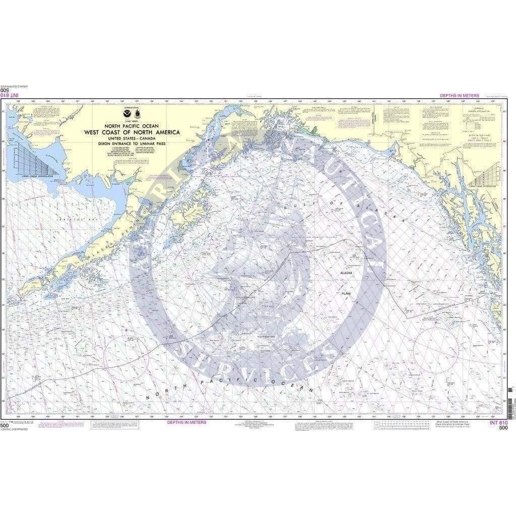
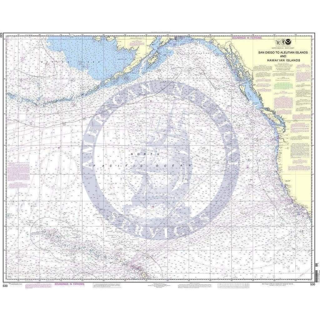
Maptech Chart Kits are full-color reproductions of NOAA charts bundled together in large cruising regions.
Chart Kits® have been a mainstay of boating for generations—more than 1 million Chart Kits® have been sold in the past 30 years! Chartbook Companion Software included free with continental Chart Kit® books.
88 Chart Pages
A Great Value - You'll save up to 90 percent compared to the cost of purchasing individual paper charts.
The Perfect Size - Large enough to plot routes; small enough to fit on your lap.
Easy to Use - Pre-plotted waypoints and latitude/longitude grids for your GPS; magnetic courses for your compass.
Fully Referenced - Geographic and alphabetical indexes quickly point you to the right page.
Reliable - A great primary or secondary navigational reference. No batteries required!
This Chart Kit® Features
- 22" x 17" spiral-bound charts
- Magnetic courses
- Multiple chart scales
- "Go to" page numbers
- Aerial photos
- Companion Software
Check out our Maptech Cruising Bundle for only $149.95!

Maptech Chart Kit Region 2, 18th Edition - Block Island, R.I. to the Canadian Border.
Maptech Chart Kits are full-color reproductions of NOAA charts bundled together in large cruising regions.
Chart Kits® have been a mainstay of boating for generations—more than 1 million Chart Kits® have been sold in the past 30 years! Chartbook Companion Software included free with continental Chart Kit® books.
88 Chart Pages
A Great Value - You'll save up to 90 percent compared to the cost of purchasing individual paper charts.
The Perfect Size - Large enough to plot routes; small enough to fit on your lap.
Easy to Use - Pre-plotted waypoints and latitude/longitude grids for your GPS; magnetic courses for your compass.
Fully Referenced - Geographic and alphabetical indexes quickly point you to the right page.
Reliable - A great primary or secondary navigational reference. No batteries required!
This Chart Kit® Features
- 22" x 17" spiral-bound charts
- Magnetic courses
- Multiple chart scales
- "Go to" page numbers
- Aerial photos
- Companion Software
Check out our Maptech Cruising Bundle for only $149.95!
Original : $139.95
-70%$139.95
$41.98Description
Maptech Chart Kit Region 2, 18th Edition - Block Island, R.I. to the Canadian Border.
Maptech Chart Kits are full-color reproductions of NOAA charts bundled together in large cruising regions.
Chart Kits® have been a mainstay of boating for generations—more than 1 million Chart Kits® have been sold in the past 30 years! Chartbook Companion Software included free with continental Chart Kit® books.
88 Chart Pages
A Great Value - You'll save up to 90 percent compared to the cost of purchasing individual paper charts.
The Perfect Size - Large enough to plot routes; small enough to fit on your lap.
Easy to Use - Pre-plotted waypoints and latitude/longitude grids for your GPS; magnetic courses for your compass.
Fully Referenced - Geographic and alphabetical indexes quickly point you to the right page.
Reliable - A great primary or secondary navigational reference. No batteries required!
This Chart Kit® Features
- 22" x 17" spiral-bound charts
- Magnetic courses
- Multiple chart scales
- "Go to" page numbers
- Aerial photos
- Companion Software
Check out our Maptech Cruising Bundle for only $149.95!