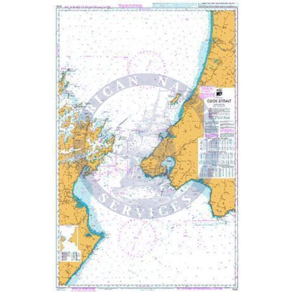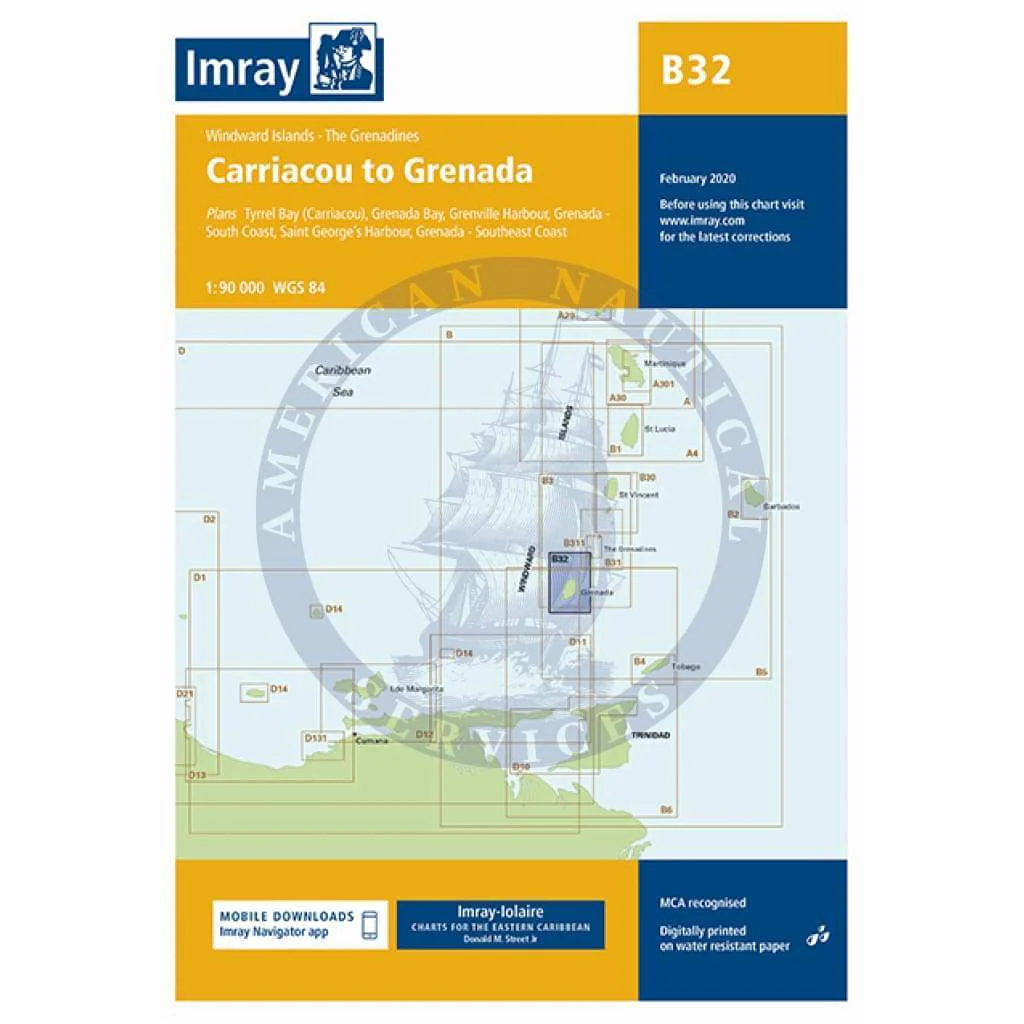
Imray Chart B32: Carriacou to Grenada
B32 Carriacou to Grenada
Scale: 1:90,000 WGS84
Imray
Plans included:
Tyrrel Bay (Carriacou) (1:17 500)
Grenada Bay (1:30 000)
Grenville Harbour (1:15 000)
Grenada - Southeast Coast (1:45 000)
Grenada - South Coast (1:40 000)
Saint George’s Harbour (1:12 500)
On this edition, a new large scale plan of the South East coast of Grenada is included covering Great Bacolet Point to Marquis Point. New ranges and recommended courses are included and existing ones have been updated. The chart specification has been improved to show coloured light flashes. There has been general updating throughout.
Water-Resistant Folded – This chart is Water-Resistant, folded, and in a plastic wallet or flat. Sheet size 640 x 900mm.
Water-Resistant Rolled – This is a water-resistant print on demand (POD) chart that is printed up to date and is ideal for framing.
Original : $34.95
-70%$34.95
$10.49Description
B32 Carriacou to Grenada
Scale: 1:90,000 WGS84
Imray
Plans included:
Tyrrel Bay (Carriacou) (1:17 500)
Grenada Bay (1:30 000)
Grenville Harbour (1:15 000)
Grenada - Southeast Coast (1:45 000)
Grenada - South Coast (1:40 000)
Saint George’s Harbour (1:12 500)
On this edition, a new large scale plan of the South East coast of Grenada is included covering Great Bacolet Point to Marquis Point. New ranges and recommended courses are included and existing ones have been updated. The chart specification has been improved to show coloured light flashes. There has been general updating throughout.
Water-Resistant Folded – This chart is Water-Resistant, folded, and in a plastic wallet or flat. Sheet size 640 x 900mm.
Water-Resistant Rolled – This is a water-resistant print on demand (POD) chart that is printed up to date and is ideal for framing.