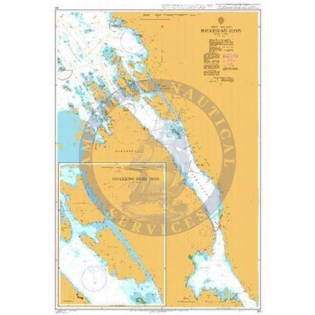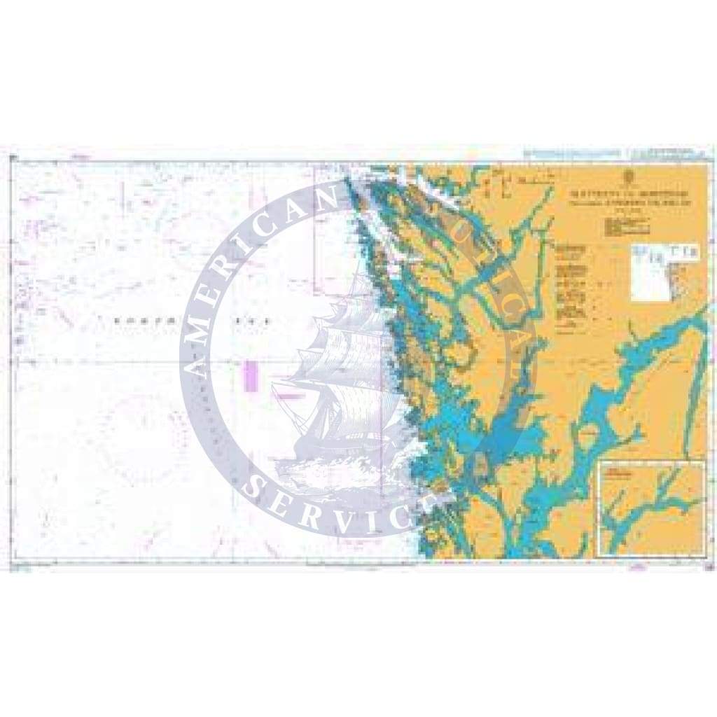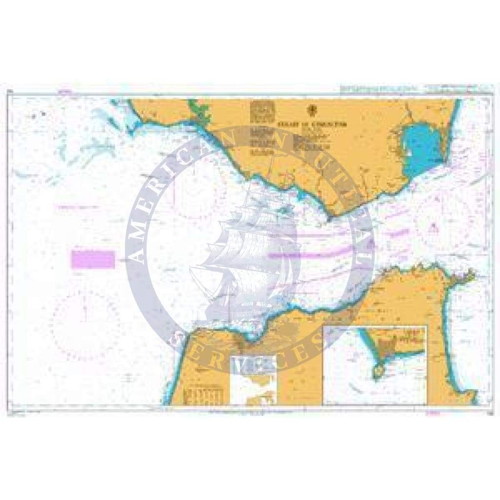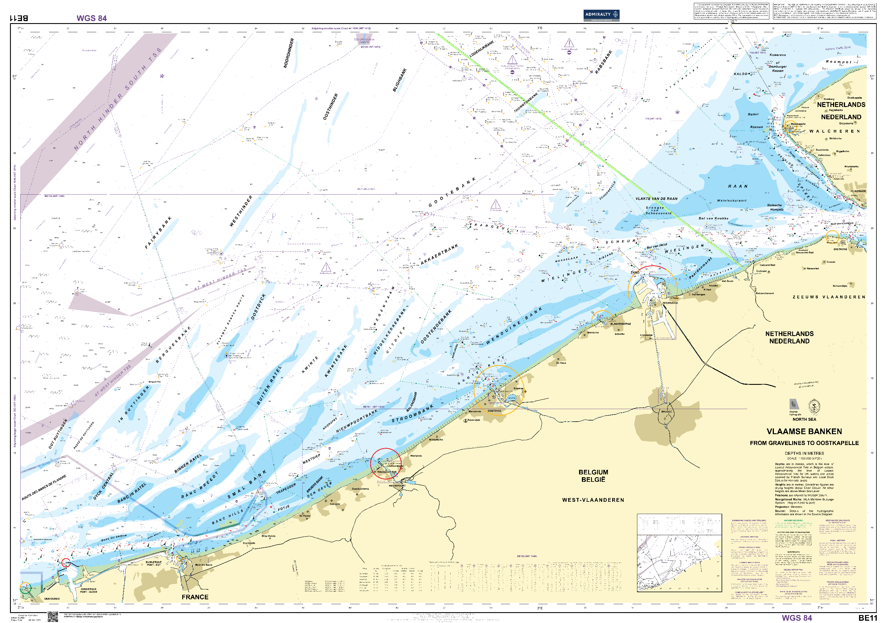
British Admiralty Nautical Chart BE11: Vlaamse Banken from Gravelines to Oostkapelle
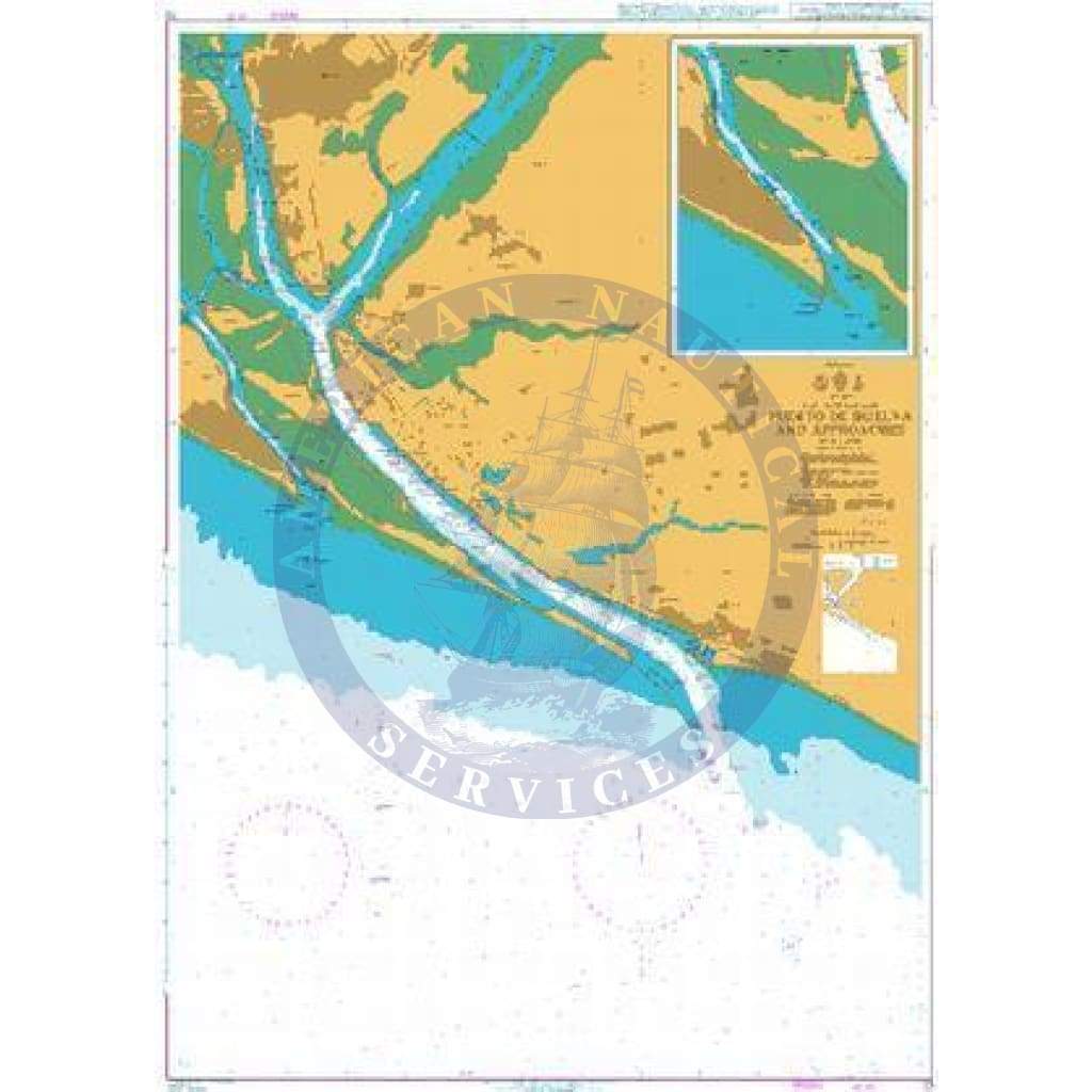
The British Admiralty Nautical Chart BE11: Vlaamse Banken from Gravelines to Oostkapelle is an essential tool for both professional and recreational mariners. This standard nautical chart adheres to the Safety of Life at Sea (SOLAS) regulations, ensuring your navigation stays compliant and safe.
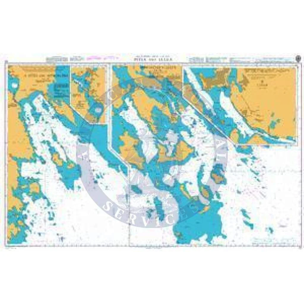
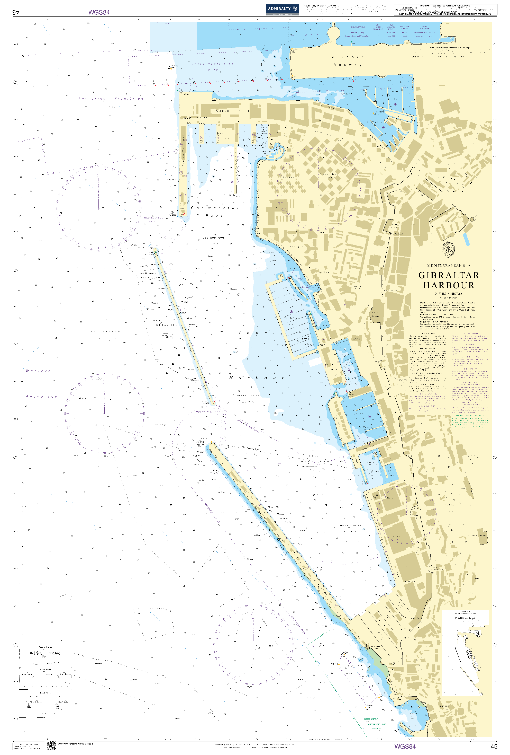
This nautical chart is designed specifically for navigators who require high precision and reliability on their journeys. It is particularly useful for various applications such as passage planning, ocean crossings, and coastal navigation. Entering port becomes more manageable with its detailed information.
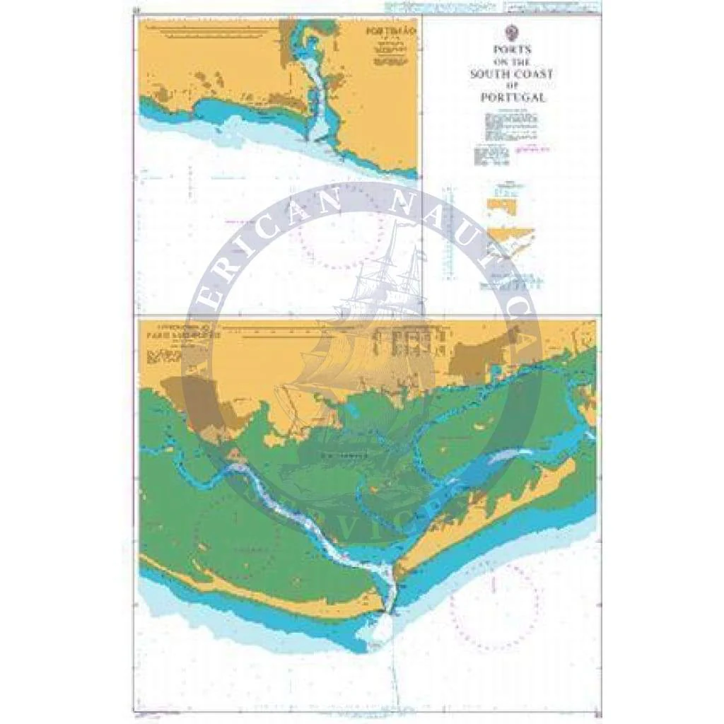
- Detailed Coverage: This chart provides comprehensive coverage of the Vlaamse Banken area, enabling you to navigate from Gravelines to Oostkapelle with confidence.
- Regular Updates: The British Admiralty Nautical Chart is regularly updated by trained cartographers, ensuring that you always have the most current navigation information available.
When navigating through busy seaways, such as the English Channel, it's crucial to utilize the largest scale nautical chart appropriate to your needs for enhanced accuracy. In addition, the standard nautical charts are often supplemented by mariners' routeing guides. These guides provide vital advice on route planning in complex areas, making it easier to safely navigate challenging waters.
Remember, while the British Admiralty Nautical Chart is corrected to the latest notice to mariners (NTM) at the point of sale, it remains the mariner’s responsibility to maintain and further correct the chart in accordance with SOLAS regulations. This diligence ensures safe navigation at all times.
The British Admiralty Nautical Chart BE11: Vlaamse Banken from Gravelines to Oostkapelle is an essential tool for both professional and recreational mariners. This standard nautical chart adheres to the Safety of Life at Sea (SOLAS) regulations, ensuring your navigation stays compliant and safe.
This nautical chart is designed specifically for navigators who require high precision and reliability on their journeys. It is particularly useful for various applications such as passage planning, ocean crossings, and coastal navigation. Entering port becomes more manageable with its detailed information.
- Detailed Coverage: This chart provides comprehensive coverage of the Vlaamse Banken area, enabling you to navigate from Gravelines to Oostkapelle with confidence.
- Regular Updates: The British Admiralty Nautical Chart is regularly updated by trained cartographers, ensuring that you always have the most current navigation information available.
When navigating through busy seaways, such as the English Channel, it's crucial to utilize the largest scale nautical chart appropriate to your needs for enhanced accuracy. In addition, the standard nautical charts are often supplemented by mariners' routeing guides. These guides provide vital advice on route planning in complex areas, making it easier to safely navigate challenging waters.
Remember, while the British Admiralty Nautical Chart is corrected to the latest notice to mariners (NTM) at the point of sale, it remains the mariner’s responsibility to maintain and further correct the chart in accordance with SOLAS regulations. This diligence ensures safe navigation at all times.
Original : $67.95
-70%$67.95
$20.39Description
The British Admiralty Nautical Chart BE11: Vlaamse Banken from Gravelines to Oostkapelle is an essential tool for both professional and recreational mariners. This standard nautical chart adheres to the Safety of Life at Sea (SOLAS) regulations, ensuring your navigation stays compliant and safe.
This nautical chart is designed specifically for navigators who require high precision and reliability on their journeys. It is particularly useful for various applications such as passage planning, ocean crossings, and coastal navigation. Entering port becomes more manageable with its detailed information.
- Detailed Coverage: This chart provides comprehensive coverage of the Vlaamse Banken area, enabling you to navigate from Gravelines to Oostkapelle with confidence.
- Regular Updates: The British Admiralty Nautical Chart is regularly updated by trained cartographers, ensuring that you always have the most current navigation information available.
When navigating through busy seaways, such as the English Channel, it's crucial to utilize the largest scale nautical chart appropriate to your needs for enhanced accuracy. In addition, the standard nautical charts are often supplemented by mariners' routeing guides. These guides provide vital advice on route planning in complex areas, making it easier to safely navigate challenging waters.
Remember, while the British Admiralty Nautical Chart is corrected to the latest notice to mariners (NTM) at the point of sale, it remains the mariner’s responsibility to maintain and further correct the chart in accordance with SOLAS regulations. This diligence ensures safe navigation at all times.