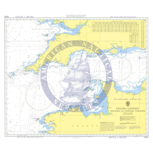
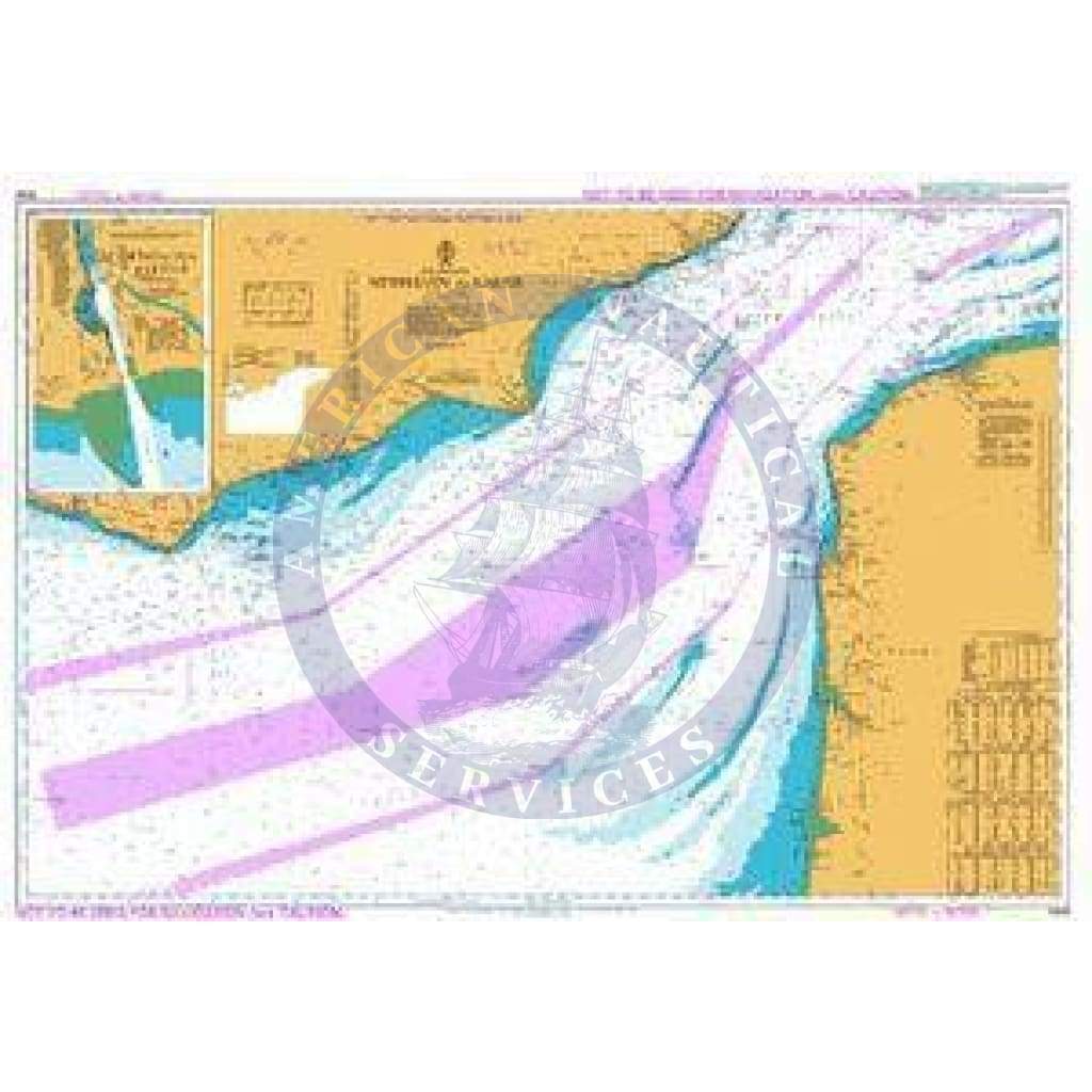
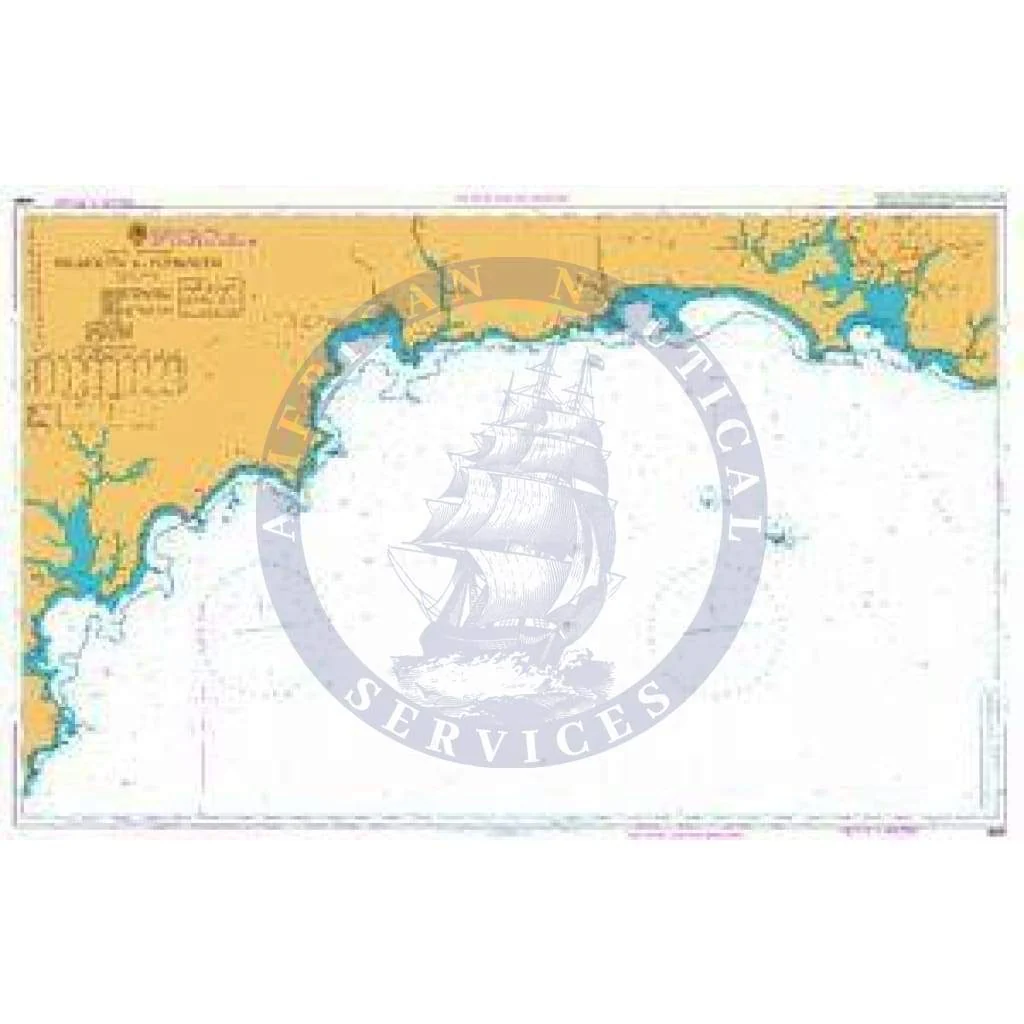
British Admiralty Instructional Chart 5135: Cape Breton to Delaware Bay
Description
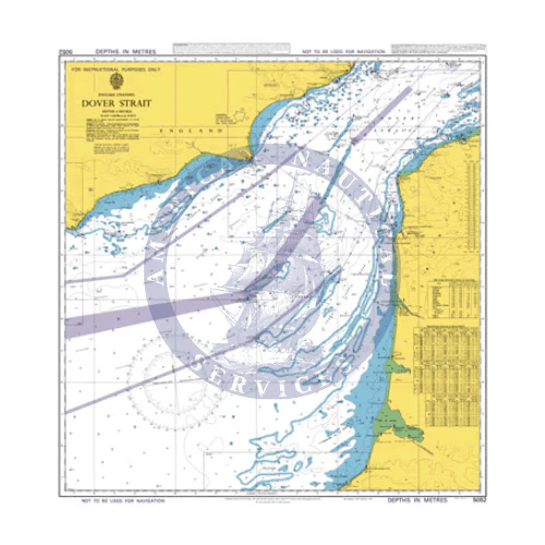
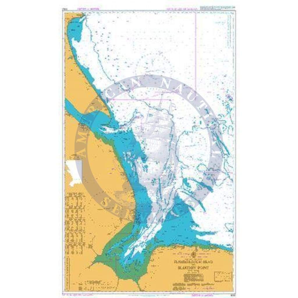
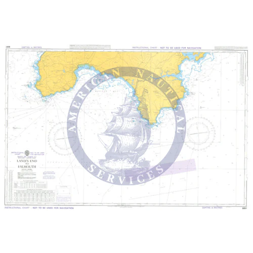
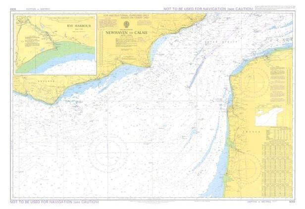
Instructional Charts are useful for training and examination purposes. They are not maintained for the latest information and should not be used for navigation.
Chart Details
- Panel Name Instructional Cape Breton to Delaware Bay
- Natural Scale 1500000
- North Limit 46� 20'.00N
- East Limit 58� 29'.00W
- South Limit 37� 47'.00N
- West Limit 76� 00'.00W
Description
Instructional Charts are useful for training and examination purposes. They are not maintained for the latest information and should not be used for navigation.
Chart Details
- Panel Name Instructional Cape Breton to Delaware Bay
- Natural Scale 1500000
- North Limit 46� 20'.00N
- East Limit 58� 29'.00W
- South Limit 37� 47'.00N
- West Limit 76� 00'.00W
$1,300.00
British Admiralty Instructional Chart 5135: Cape Breton to Delaware Bay—
$1,300.00
Description
Description
Instructional Charts are useful for training and examination purposes. They are not maintained for the latest information and should not be used for navigation.
Chart Details
- Panel Name Instructional Cape Breton to Delaware Bay
- Natural Scale 1500000
- North Limit 46� 20'.00N
- East Limit 58� 29'.00W
- South Limit 37� 47'.00N
- West Limit 76� 00'.00W