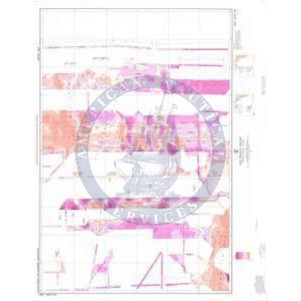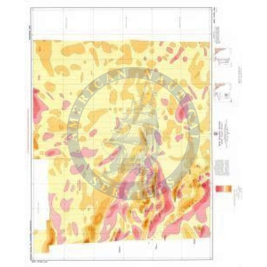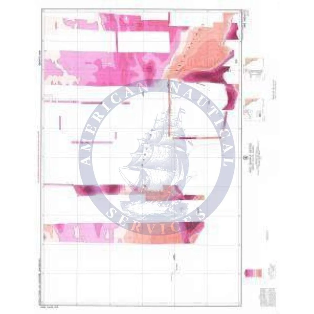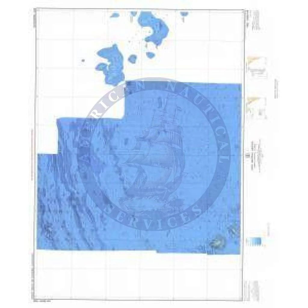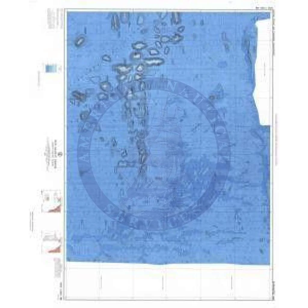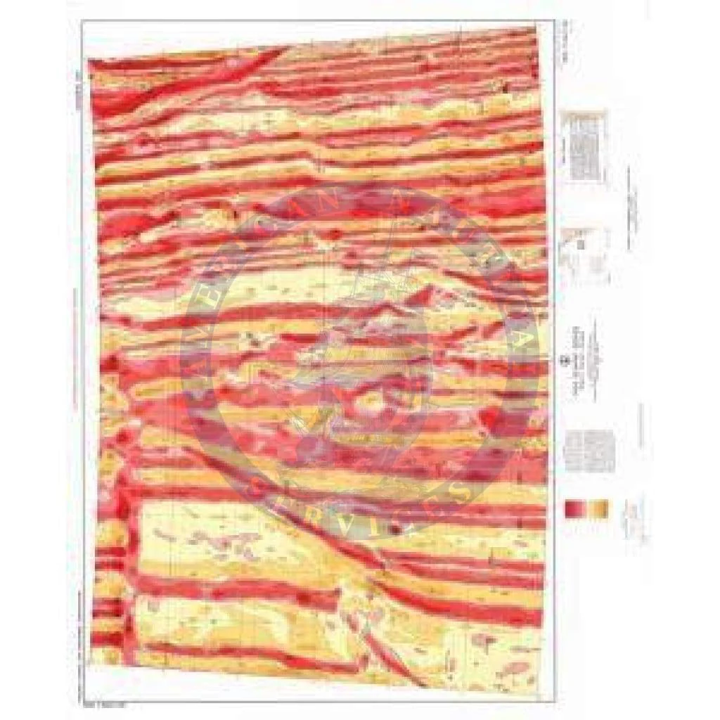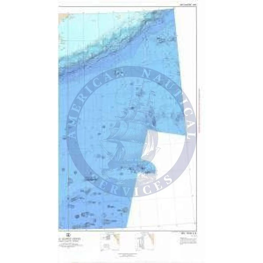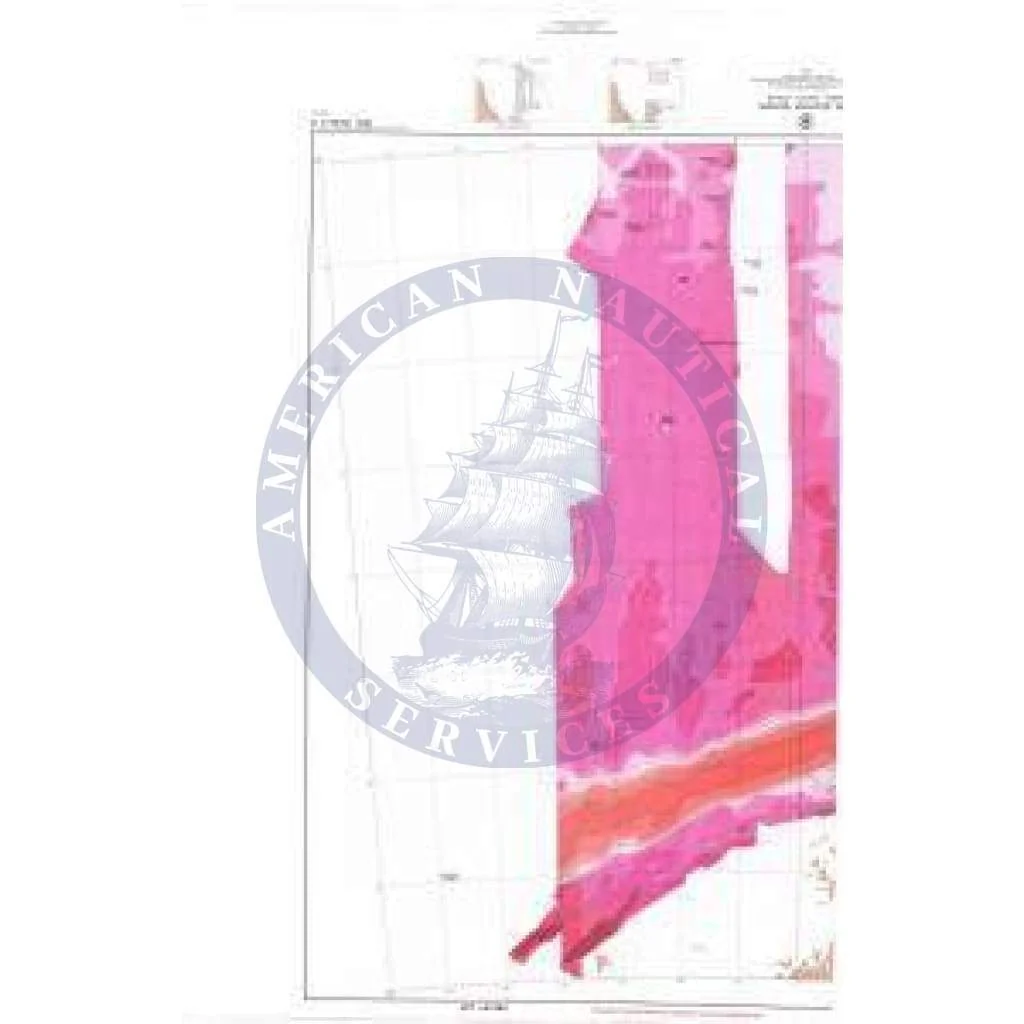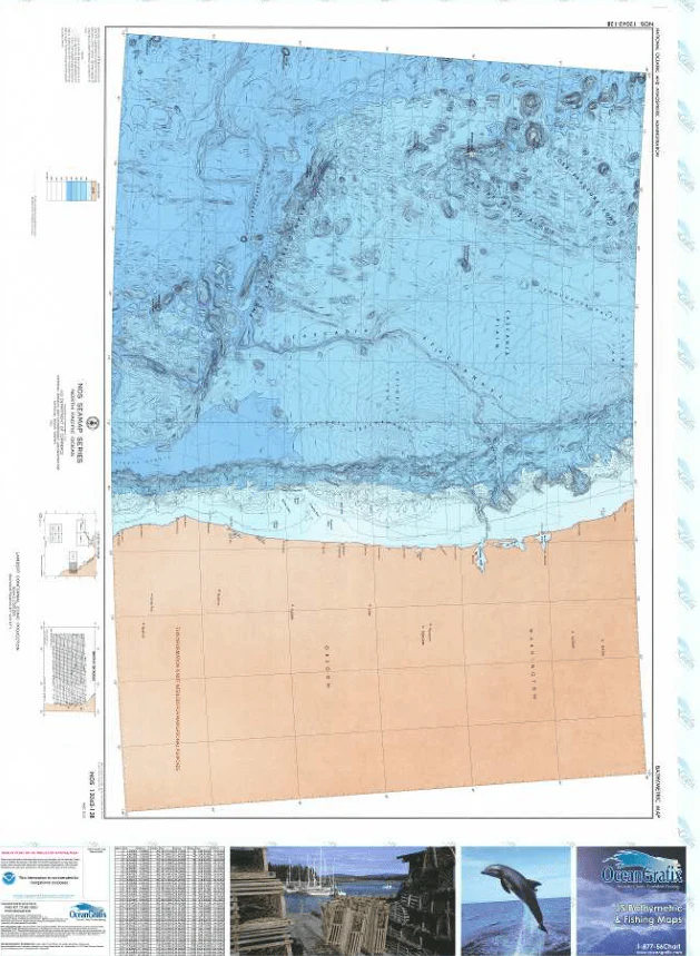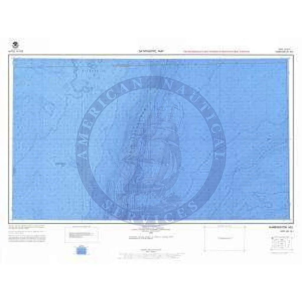
Bathymetric Chart NH-18-1: HARRINGTON HILL
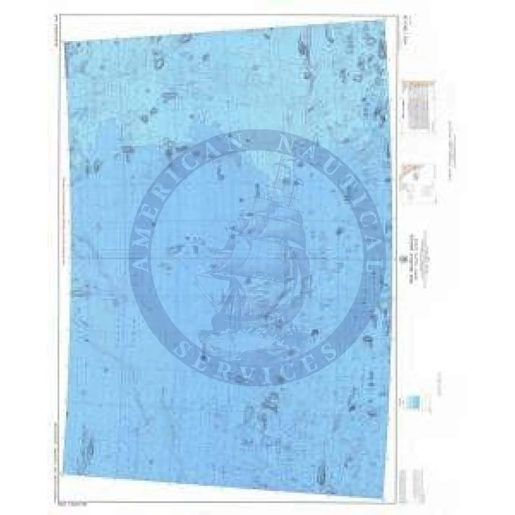
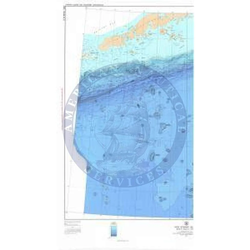
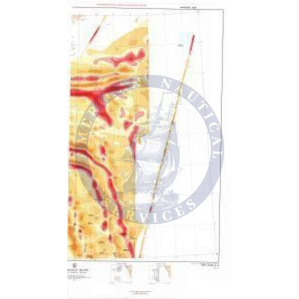
The chart you are viewing is a bathymetric chart by OceanGrafix. It is designed to present an accurate, measurable description and visual presentation of the submerged terrain in this area.
The chart you are viewing is a bathymetric chart by OceanGrafix. It is designed to present an accurate, measurable description and visual presentation of the submerged terrain in this area.
$8.38
Original : $27.95
-70%Bathymetric Chart NH-18-1: HARRINGTON HILL—
$27.95
$8.38Description
The chart you are viewing is a bathymetric chart by OceanGrafix. It is designed to present an accurate, measurable description and visual presentation of the submerged terrain in this area.